File:Carquinez Regional Shoreline - panoramio.jpg

Size of this preview: 800 × 535 pixels. Other resolutions: 320 × 214 pixels | 640 × 428 pixels | 1,024 × 684 pixels | 1,280 × 856 pixels | 2,992 × 2,000 pixels.
Original file (2,992 × 2,000 pixels, file size: 835 KB, MIME type: image/jpeg)
Captions
Captions
Add a one-line explanation of what this file represents
Summary edit
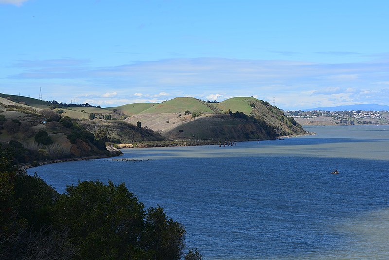
| Description | Carquinez Regional Shoreline | ||
| Date | Taken on 1 March 2014 | ||
| Source | https://web.archive.org/web/20161029064513/http://www.panoramio.com/photo/103896366 | ||
| Author | Federico Pizano | ||
| Permission (Reusing this file) |
This file is licensed under the Creative Commons Attribution 3.0 Unported license. Attribution: Federico Pizano
|
||
| Other versions | |||
| Tags (from Panoramio photo page) | Contra Costa County, California, Carquinez Regional Shoreline, Contra Costa County, Martinez |
.jpg)
.jpg)
| Camera location | | View this and other nearby images on: OpenStreetMap |
|---|
File history
Click on a date/time to view the file as it appeared at that time.
| Date/Time | Thumbnail | Dimensions | User | Comment | |
|---|---|---|---|---|---|
| current | 17:27, 21 March 2017 | | 2,992 × 2,000 (835 KB) | Panoramio upload bot (talk | contribs) | == {{int:filedesc}} == {{Information |description=Carquinez Regional Shoreline |date={{Taken on|2014-03-01}} |source=http://www.panoramio.com/photo/103896366 |author=[http://www.panoramio.com/user/1351207?with_photo_id=103896366 Federico Pizano] |permi... |
You cannot overwrite this file.
File usage on Commons
The following 2 pages use this file:
File usage on other wikis
The following other wikis use this file:
- Usage on ceb.wikipedia.org
- Usage on en.wikipedia.org
- Usage on en.wikivoyage.org
- Usage on www.wikidata.org