File:Carretera a Masaya.svg

Size of this PNG preview of this SVG file: 643 × 599 pixels. Other resolutions: 257 × 240 pixels | 515 × 480 pixels | 824 × 768 pixels | 1,099 × 1,024 pixels | 2,197 × 2,048 pixels | 1,239 × 1,155 pixels.
Original file (SVG file, nominally 1,239 × 1,155 pixels, file size: 692 KB)
Captions
Captions
Add a one-line explanation of what this file represents
| Description |
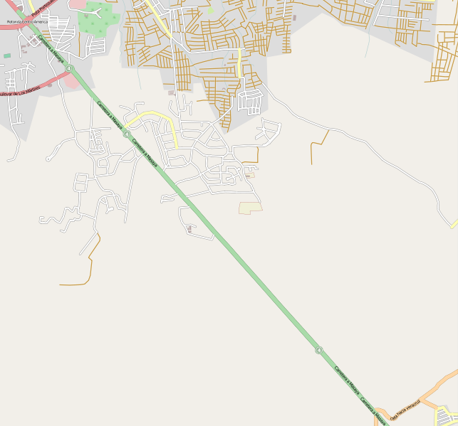
This map of Carretera a Masaya, Managua, Nicaragua was created from OpenStreetMap project data, collected by the community. This map may be incomplete, and may contain errors. Don't rely solely on it for navigation. |
| Date | (see file history) |
| Source | openstreetmap.org |
| Creator |
OpenStreetMap contributors |
| Permission (Reusing this file) |
OpenStreetMap data and maps are licensed under the Creative Commons Attribution-ShareAlike 2.0 license (CC-BY-SA 2.0). This file is licensed under the Creative Commons Attribution-Share Alike 2.0 Generic license.
|
| Georeferencing | If inappropriate please set warp_status = skip to hide. |
File history
Click on a date/time to view the file as it appeared at that time.
| Date/Time | Thumbnail | Dimensions | User | Comment | |
|---|---|---|---|---|---|
| current | 06:44, 12 December 2009 | | 1,239 × 1,155 (692 KB) | Vrysxy (talk | contribs) | {{OpenStreetMap|location=Carretera a Masaya, Managua, Nicaragua|source=OpenStreetMap export tool}} Category:Streets in Managua Managua |
You cannot overwrite this file.
File usage on Commons
There are no pages that use this file.
File usage on other wikis
The following other wikis use this file:
- Usage on es.wikipedia.org
- Usage on www.wikidata.org