File:Carte Archipel de l-Isle-aux-Grues.png

Size of this preview: 800 × 591 pixels. Other resolutions: 320 × 236 pixels | 640 × 473 pixels | 1,024 × 756 pixels | 1,162 × 858 pixels.
Original file (1,162 × 858 pixels, file size: 240 KB, MIME type: image/png)
Captions
Captions
Add a one-line explanation of what this file represents
Summary
edit
| Description |
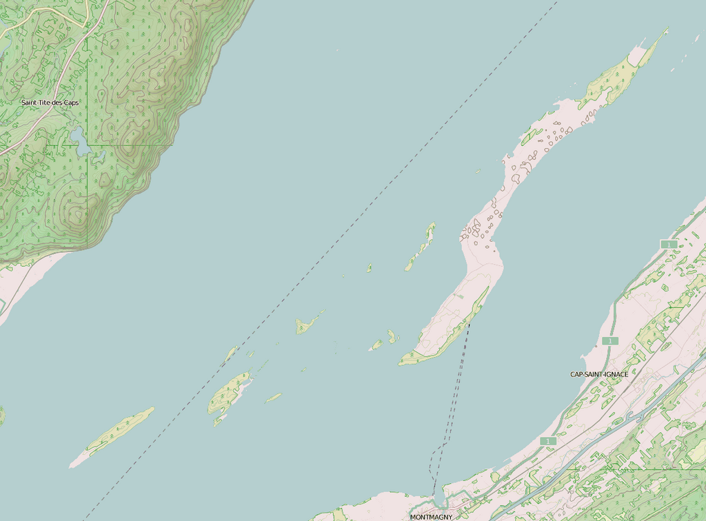
Français : Carte de l'Archipel de l'Isle-aux-Grues |
| Date | |
| Source | Own work à partir de OpenStreetMap |
| Author | Jeangagnon |
Licensing
edit
| This work has been released into the public domain by its author, OpenStreetMap. This applies worldwide. In some countries this may not be legally possible; if so: OpenStreetMap grants anyone the right to use this work for any purpose, without any conditions, unless such conditions are required by law. |
File history
Click on a date/time to view the file as it appeared at that time.
| Date/Time | Thumbnail | Dimensions | User | Comment | |
|---|---|---|---|---|---|
| current | 22:35, 31 January 2013 | | 1,162 × 858 (240 KB) | Jeangagnon (talk | contribs) | ajout |
| 22:17, 31 January 2013 |  | 1,024 × 1,024 (157 KB) | Jeangagnon (talk | contribs) | User created page with UploadWizard |
You cannot overwrite this file.
File usage on Commons
There are no pages that use this file.
File usage on other wikis
The following other wikis use this file:
- Usage on fr.wikipedia.org