File:Carte Canton La Ravoire.png

Size of this preview: 737 × 600 pixels. Other resolutions: 295 × 240 pixels | 590 × 480 pixels | 944 × 768 pixels | 1,259 × 1,024 pixels | 2,517 × 2,048 pixels | 4,720 × 3,840 pixels.
Original file (4,720 × 3,840 pixels, file size: 244 KB, MIME type: image/png)
Captions
Captions
Add a one-line explanation of what this file represents
Summary
edit
| Description |
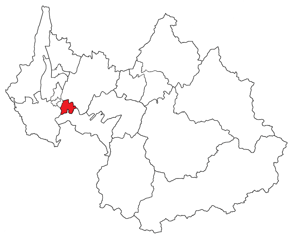
English: Canton de La Ravoire territory, created in 2015, on the Savoie department map.
Français : Territoire du canton de La Ravoire, créé en 2015, sur la carte du département de la Savoie. |
||
| Date | |||
| Source | Own work | ||
| Author | Florian Pépellin | ||
| Permission (Reusing this file) |
|
File history
Click on a date/time to view the file as it appeared at that time.
| Date/Time | Thumbnail | Dimensions | User | Comment | |
|---|---|---|---|---|---|
| current | 10:51, 5 February 2015 | | 4,720 × 3,840 (244 KB) | Floflo (talk | contribs) | {{Information |Description ={{en|1=''Canton de La Ravoire'' territory, created in 2015, on the Savoie department map.}} {{fr|1=Territoire du ''canton de La Ravoire'', créé en 2015, sur la carte du département de la Savoie.}} |Source... |
You cannot overwrite this file.
File usage on Commons
There are no pages that use this file.
File usage on other wikis
The following other wikis use this file:
- Usage on fr.wikipedia.org
- Usage on it.wikipedia.org
- Usage on ru.wikipedia.org