File:Carte Mediterranee 03.jpg

Size of this preview: 800 × 488 pixels. Other resolutions: 320 × 195 pixels | 640 × 390 pixels | 1,024 × 625 pixels | 1,500 × 915 pixels.
Original file (1,500 × 915 pixels, file size: 893 KB, MIME type: image/jpeg)
Captions
Captions
Add a one-line explanation of what this file represents
Summary edit
| Description |
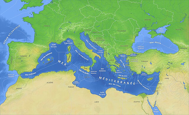
Français : Carte de la Méditerranée avec les Zones économiques exclusives (rouge: limites de facto, non reconnues par le droit international et par l'ONU. English: Monaco, Montenegro, Economic exclusive areas added to Mediterranee 02.jpg; red: de facto borders, non recognised by UNO. |
||
| Date | |||
| Source | Mediterranee 02.jpg (background) and VLIZ Maritime boundaries and Internationalwaters.png (added data). | ||
| Author | O H 237 2015 (background) and Nihil scimus (added data) | ||
| Permission (Reusing this file) |
|
Licensing edit
I, the copyright holder of this work, hereby publish it under the following license:
| This file is made available under the Creative Commons CC0 1.0 Universal Public Domain Dedication. | |
| The person who associated a work with this deed has dedicated the work to the public domain by waiving all of their rights to the work worldwide under copyright law, including all related and neighboring rights, to the extent allowed by law. You can copy, modify, distribute and perform the work, even for commercial purposes, all without asking permission.
|
File history
Click on a date/time to view the file as it appeared at that time.
| Date/Time | Thumbnail | Dimensions | User | Comment | |
|---|---|---|---|---|---|
| current | 16:05, 23 February 2024 | | 1,500 × 915 (893 KB) | Nihil scimus (talk | contribs) | Uploaded own work with UploadWizard |
You cannot overwrite this file.
File usage on Commons
There are no pages that use this file.
File usage on other wikis
The following other wikis use this file:
- Usage on fr.wikipedia.org