File:Carte de la partie Nord-Est de l'Espagne - Feuille 27 - Iles Baléares. Echelle 1 - 350.000 - btv1b105678563.jpg

Size of this preview: 437 × 599 pixels. Other resolutions: 175 × 240 pixels | 350 × 480 pixels | 560 × 768 pixels | 747 × 1,024 pixels | 1,495 × 2,048 pixels | 5,961 × 8,167 pixels.
Original file (5,961 × 8,167 pixels, file size: 3.83 MB, MIME type: image/jpeg)
Captions
Captions
Add a one-line explanation of what this file represents
Summary edit
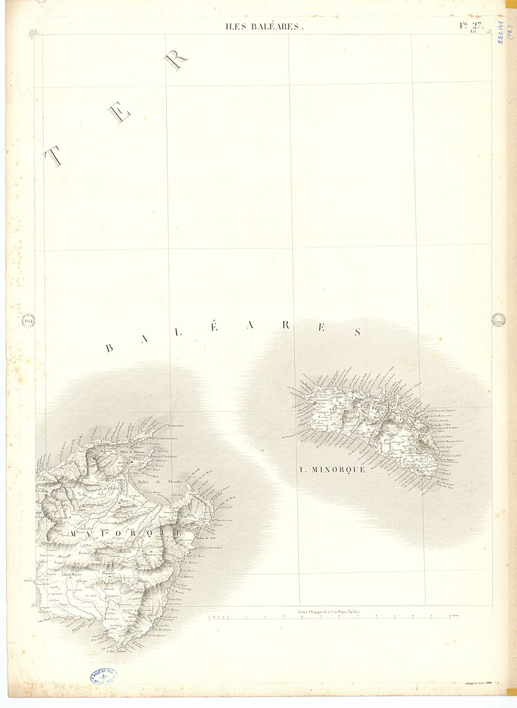
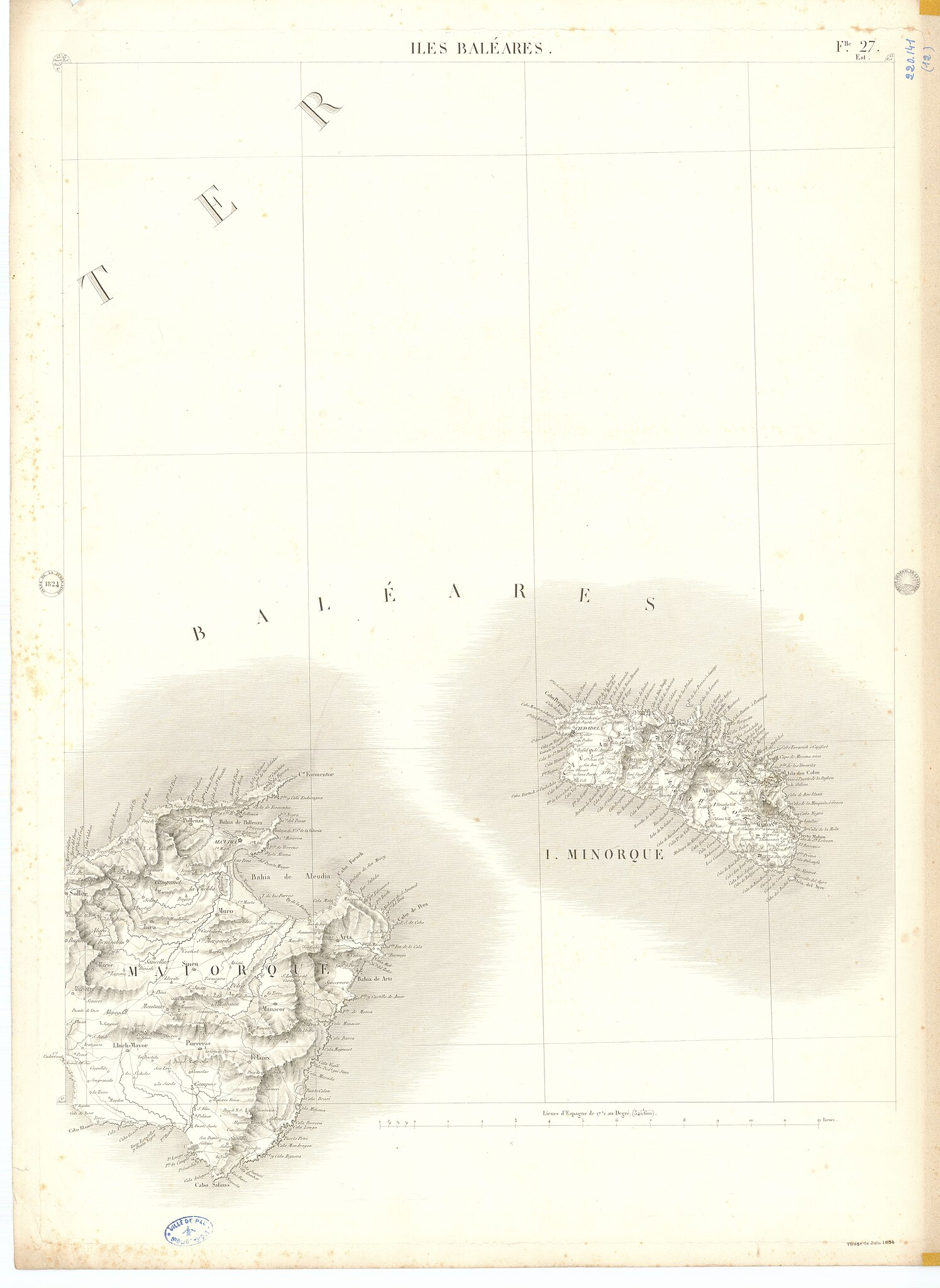
| Carte de la partie Nord-Est de l'Espagne : Feuille 27 - Iles Baléares. Echelle 1 / 350.000
( |
|||||||||||||||||||||||||||
|---|---|---|---|---|---|---|---|---|---|---|---|---|---|---|---|---|---|---|---|---|---|---|---|---|---|---|---|
| Title |
Carte de la partie Nord-Est de l'Espagne : Feuille 27 - Iles Baléares. Echelle 1 / 350.000 |
||||||||||||||||||||||||||
| Description |
Français : Sujet : Espagne -- 19e siècle -- Cartes
Baléares (Espagne) -- 19e siècle -- Cartes Espagne Baléares Appartient à l’ensemble documentaire : PrnS001 Langue : sans contenu linguistique |
||||||||||||||||||||||||||
| Date | 1824 | ||||||||||||||||||||||||||
| Collection |
|
||||||||||||||||||||||||||
| References |
Français : Notice du catalogue : http://catalogue.bnf.fr/ark:/12148/cb44933063t |
||||||||||||||||||||||||||
| Source/Photographer |
Français : Archives et bibliothèques Pau Béarn Pyrénées, 220141 (12)
Bibliothèque nationale de France |
||||||||||||||||||||||||||
| Permission (Reusing this file) |
|
||||||||||||||||||||||||||

File history
Click on a date/time to view the file as it appeared at that time.
| Date/Time | Thumbnail | Dimensions | User | Comment | |
|---|---|---|---|---|---|
| current | 10:58, 14 August 2022 | | 5,961 × 8,167 (3.83 MB) | Gzen92Bot (talk | contribs) | Gallica btv1b105678563 |
You cannot overwrite this file.
File usage on Commons
The following page uses this file: