File:Carte des environs de Cataracoui.jpg

Size of this preview: 800 × 378 pixels. Other resolutions: 320 × 151 pixels | 640 × 303 pixels | 1,024 × 484 pixels | 1,280 × 605 pixels | 2,560 × 1,211 pixels | 8,680 × 4,105 pixels.
Original file (8,680 × 4,105 pixels, file size: 9.05 MB, MIME type: image/jpeg)
Captions
Captions
Add a one-line explanation of what this file represents
Summary edit
| Description |
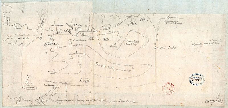
Français : Carte des environs de Cataracoui |
| Date | between 1700 and 1799 |
| Source | http://gallica.bnf.fr/ark:/12148/btv1b85959755 |
| Author | Anville, Jean-Baptiste Bourguignon d' (1697-1782). Cartographe |
Licensing edit
|
This work is in the public domain in its country of origin and other countries and areas where the copyright term is the author's life plus 70 years or fewer. This work is in the public domain in the United States because it was published (or registered with the U.S. Copyright Office) before January 1, 1929. | |
| This file has been identified as being free of known restrictions under copyright law, including all related and neighboring rights. | |
File history
Click on a date/time to view the file as it appeared at that time.
| Date/Time | Thumbnail | Dimensions | User | Comment | |
|---|---|---|---|---|---|
| current | 21:45, 31 August 2016 | | 8,680 × 4,105 (9.05 MB) | Jeangagnon (talk | contribs) | correction automatique |
| 21:42, 31 August 2016 |  | 8,680 × 4,105 (7.53 MB) | Jeangagnon (talk | contribs) | User created page with UploadWizard |
You cannot overwrite this file.
File usage on Commons
There are no pages that use this file.