File:Carte des environs de Grenoble - btv1b530880153.jpg
Size of this preview: 800 × 597 pixels. Other resolutions: 320 × 239 pixels | 640 × 478 pixels | 1,024 × 764 pixels | 1,280 × 955 pixels | 2,560 × 1,911 pixels | 4,480 × 3,344 pixels.
Original file (4,480 × 3,344 pixels, file size: 1.57 MB, MIME type: image/jpeg)
Captions
Captions
Add a one-line explanation of what this file represents
Summary
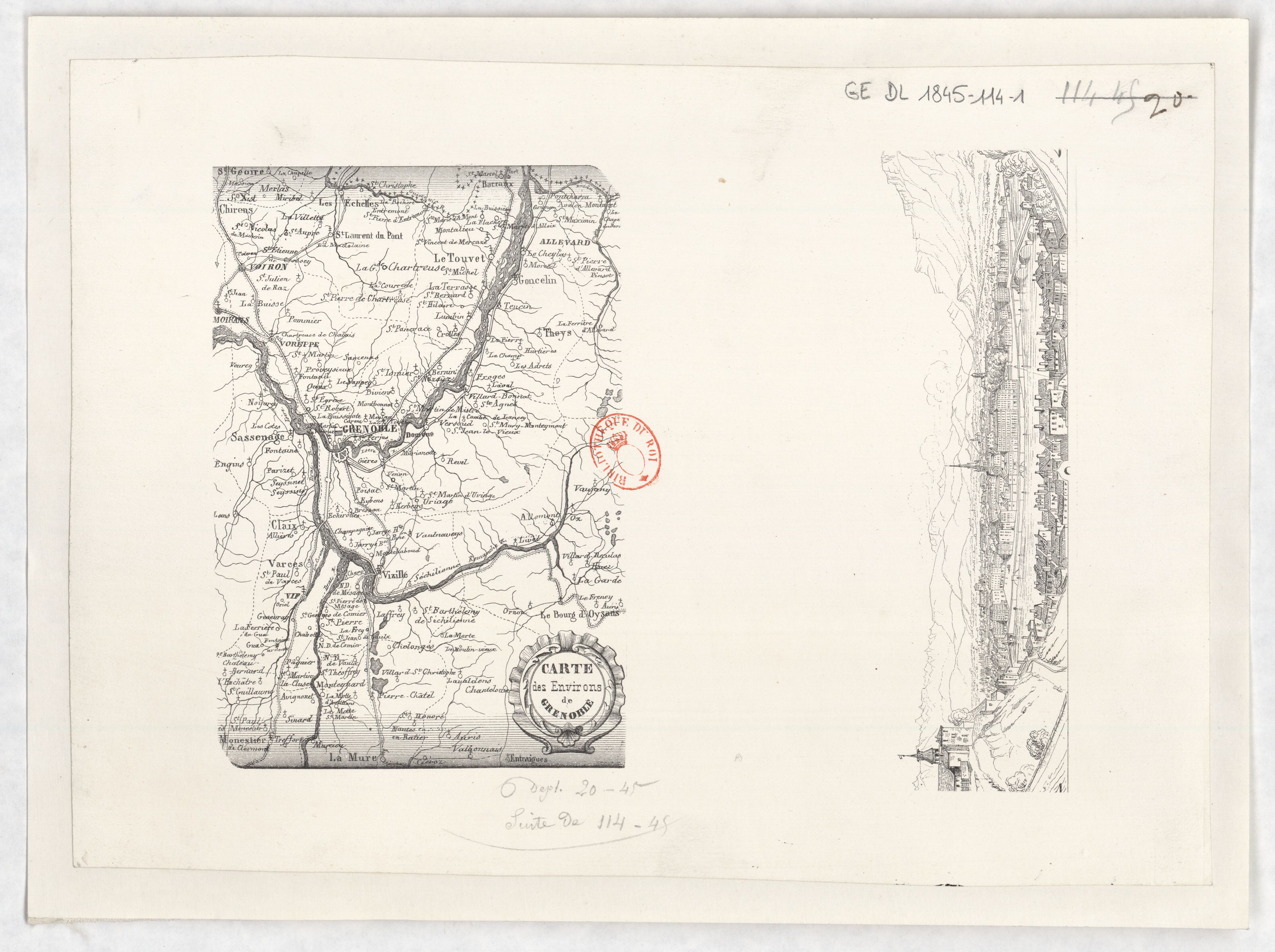
edit| Carte des environs de Grenoble
( |
|||||||||||||||||||||||||||
|---|---|---|---|---|---|---|---|---|---|---|---|---|---|---|---|---|---|---|---|---|---|---|---|---|---|---|---|
| Title |
Carte des environs de Grenoble |
||||||||||||||||||||||||||
| Description |
Français : Sujet : Grenoble -- Environs
Échelle(s) : [Échelle non déterminable] Appartient à l’ensemble documentaire : RhoneAlp1 Couverture : France – Auvergne-Rhône-Alpes – Isère E 5°34' - E 6°5' / N 45°26' - N 44°54' Langue : français Éditeur : [s.n.] |
||||||||||||||||||||||||||
| Date | 1845 | ||||||||||||||||||||||||||
| Dimensions | height: 34 cm (13.3 in); width: 24 cm (9.4 in) | ||||||||||||||||||||||||||
| Collection |
|
||||||||||||||||||||||||||
| References |
Français : Notice du catalogue : http://catalogue.bnf.fr/ark:/12148/cb436037775 |
||||||||||||||||||||||||||
| Source/Photographer |
Français : Bibliothèque nationale de France, département Cartes et plans, GE DL 1845-114-1
Bibliothèque nationale de France |
||||||||||||||||||||||||||
| Permission (Reusing this file) |
|
||||||||||||||||||||||||||

File history
Click on a date/time to view the file as it appeared at that time.
| Date/Time | Thumbnail | Dimensions | User | Comment | |
|---|---|---|---|---|---|
| current | 02:44, 24 July 2022 | | 4,480 × 3,344 (1.57 MB) | Gzen92Bot (talk | contribs) | Gallica btv1b530880153 |
You cannot overwrite this file.
File usage on Commons
The following page uses this file: