File:Carte du bassin minier de Ronchamp et Champagney Générale.svg

Size of this PNG preview of this SVG file: 683 × 599 pixels. Other resolutions: 274 × 240 pixels | 547 × 480 pixels | 875 × 768 pixels | 1,167 × 1,024 pixels | 2,334 × 2,048 pixels | 1,086 × 953 pixels.
Original file (SVG file, nominally 1,086 × 953 pixels, file size: 769 KB)
Captions
Captions
Add a one-line explanation of what this file represents
Summary edit
| Description |
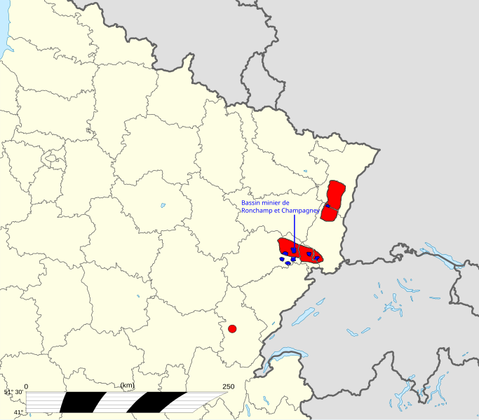
Français : Carte indiquant l'emplacement du Bassin minier de Ronchamp et Champagney dans le Bassin houiller de Franche-Comté et d'Alsace. |
| Date | |
| Source |
 |
| Author |
Eric Gaba (Sting - fr:Sting) Retouched by Bourgeois.A and Tubezlob |
Licensing edit
I, the copyright holder of this work, hereby publish it under the following license:
This file is licensed under the Creative Commons Attribution-Share Alike 3.0 Unported license.
- You are free:
- to share – to copy, distribute and transmit the work
- to remix – to adapt the work
- Under the following conditions:
- attribution – You must give appropriate credit, provide a link to the license, and indicate if changes were made. You may do so in any reasonable manner, but not in any way that suggests the licensor endorses you or your use.
- share alike – If you remix, transform, or build upon the material, you must distribute your contributions under the same or compatible license as the original.
File history
Click on a date/time to view the file as it appeared at that time.
| Date/Time | Thumbnail | Dimensions | User | Comment | |
|---|---|---|---|---|---|
| current | 15:25, 11 July 2014 | | 1,086 × 953 (769 KB) | Bourgeois.A (talk | contribs) | +2 |
| 17:33, 2 July 2014 |  | 1,086 × 953 (758 KB) | Bourgeois.A (talk | contribs) | Ajout d'un gisement | |
| 18:19, 16 June 2014 |  | 1,086 × 953 (756 KB) | Bourgeois.A (talk | contribs) | User created page with UploadWizard |
You cannot overwrite this file.
File usage on Commons
There are no pages that use this file.