File:Carte du cap Mesurat au fort anglais - btv1b53235470t.jpg
Size of this preview: 800 × 410 pixels. Other resolutions: 320 × 164 pixels | 640 × 328 pixels | 1,024 × 524 pixels | 1,280 × 655 pixels | 2,560 × 1,311 pixels | 7,996 × 4,094 pixels.
Original file (7,996 × 4,094 pixels, file size: 3.02 MB, MIME type: image/jpeg)
Captions
Captions
Add a one-line explanation of what this file represents
Summary edit
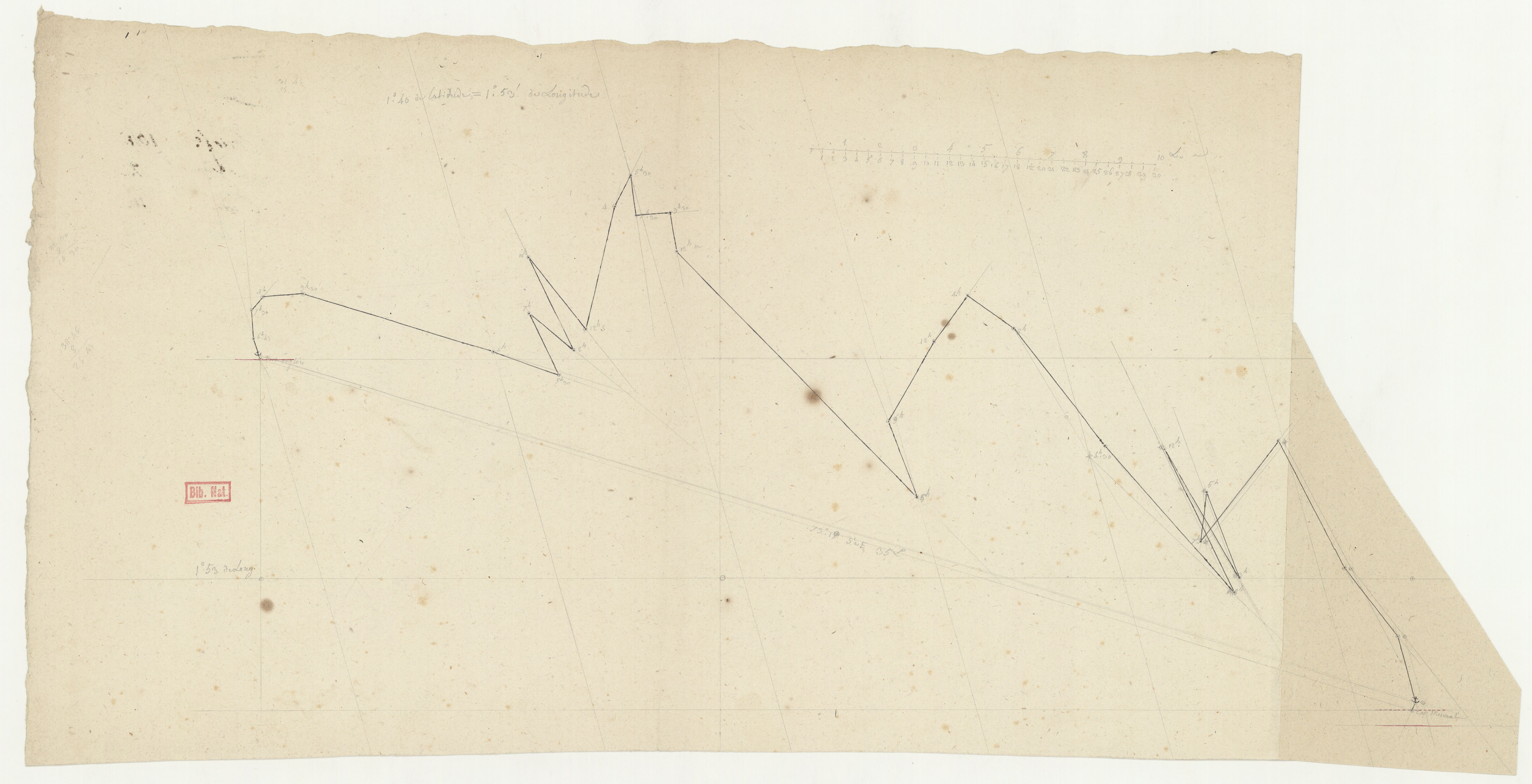
| Carte du cap Mesurat au fort anglais
( |
|||||||||||||||||||||||||||
|---|---|---|---|---|---|---|---|---|---|---|---|---|---|---|---|---|---|---|---|---|---|---|---|---|---|---|---|
| Title |
Carte du cap Mesurat au fort anglais |
||||||||||||||||||||||||||
| Description |
Français : Sujet : Méditerranée, Mer
Mişrātah Échelle(s) : [Echelle non mentionnée] Couverture : Mer Méditerranée – Bassin Est Libye Langue : français |
||||||||||||||||||||||||||
| Date | 18th century | ||||||||||||||||||||||||||
| Dimensions | height: 66 cm (25.9 in); width: 31.5 cm (12.4 in) | ||||||||||||||||||||||||||
| Collection |
|
||||||||||||||||||||||||||
| References |
Français : Notice de recueil : http://catalogue.bnf.fr/ark:/12148/cb46902217m
Appartient à : [Division 2 du portefeuille 104 du Service hydrographique de la Marine consacrée aux cartes de Tunis jusqu'à Alexandrie] ; 16 D Notice du catalogue : http://catalogue.bnf.fr/ark:/12148/cb46902990m |
||||||||||||||||||||||||||
| Source/Photographer |
Français : Bibliothèque nationale de France, département Cartes et plans, GE SH 18 PF 104 DIV 2 P 16 D
Bibliothèque nationale de France |
||||||||||||||||||||||||||
| Permission (Reusing this file) |
|
||||||||||||||||||||||||||

File history
Click on a date/time to view the file as it appeared at that time.
| Date/Time | Thumbnail | Dimensions | User | Comment | |
|---|---|---|---|---|---|
| current | 05:45, 16 July 2022 | | 7,996 × 4,094 (3.02 MB) | Gzen92Bot (talk | contribs) | Gallica btv1b53235470t |
You cannot overwrite this file.
File usage on Commons
The following page uses this file: