File:Carte routière and industrielle des arrondissements de Douai and Valenciennes... - publiée par Félix Robaut ; litho. de F(éli)x Robaut à Douai ; Ed. Boldoduc lith. - btv1b530849260.jpg

Size of this preview: 743 × 600 pixels. Other resolutions: 298 × 240 pixels | 595 × 480 pixels | 952 × 768 pixels | 1,269 × 1,024 pixels | 2,538 × 2,048 pixels | 9,567 × 7,721 pixels.
Original file (9,567 × 7,721 pixels, file size: 10.67 MB, MIME type: image/jpeg)
Captions
Captions
Add a one-line explanation of what this file represents
Summary
edit| Warning | The original file is very high-resolution. It might not load properly or could cause your browser to freeze when opened at full size. |
|---|
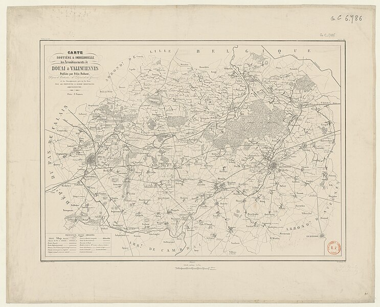
| Carte routière & industrielle des arrondissements de Douai & Valenciennes,... / publiée par Félix Robaut ; litho. de F[éli]x Robaut à Douai ; Ed. Boldoduc lith.
( |
|||||||||||||||||||||||||||
|---|---|---|---|---|---|---|---|---|---|---|---|---|---|---|---|---|---|---|---|---|---|---|---|---|---|---|---|
| Author |
Robaut, Félix (1799-1880). Cartographe Boldoduc, Édouard (1823-1902). Lithographe |
||||||||||||||||||||||||||
| Title |
Carte routière & industrielle des arrondissements de Douai & Valenciennes,... / publiée par Félix Robaut ; litho. de F[éli]x Robaut à Douai ; Ed. Boldoduc lith. |
||||||||||||||||||||||||||
| Description |
Français : Sujet : Douai, Arrondissement de
Valenciennes, Arrondissement de Échelle(s) : 1:80 000 Couverture : France– Hauts-de-France – Nord E 2°58' - E 3°40' / N 50°14' - N 50°13' Langue : français Éditeur : [s.n.] |
||||||||||||||||||||||||||
| Date | 1849 | ||||||||||||||||||||||||||
| Dimensions | height: 65.5 cm (25.7 in); width: 48 cm (18.8 in) | ||||||||||||||||||||||||||
| Collection |
|
||||||||||||||||||||||||||
| References |
Français : Notice d'ensemble : http://catalogue.bnf.fr/ark:/12148/cb407474380
Notice du catalogue : http://catalogue.bnf.fr/ark:/12148/cb407474380 |
||||||||||||||||||||||||||
| Source/Photographer |
Français : Bibliothèque nationale de France, département Cartes et plans, GE C-6786
Bibliothèque nationale de France |
||||||||||||||||||||||||||
| Permission (Reusing this file) |
|
||||||||||||||||||||||||||

x_Robaut_%C3%A0_Douai_;_Ed._Boldoduc_lith._-_btv1b530849260.jpg&action=edit§ion=1)
x_Robaut_%C3%A0_Douai_;_Ed._Boldoduc_lith._-_btv1b530849260.jpg&flash=no)
File history
Click on a date/time to view the file as it appeared at that time.
| Date/Time | Thumbnail | Dimensions | User | Comment | |
|---|---|---|---|---|---|
| current | 02:02, 20 August 2022 | | 9,567 × 7,721 (10.67 MB) | Gzen92Bot (talk | contribs) | Gallica btv1b530849260 |
You cannot overwrite this file.
File usage on Commons
The following page uses this file:
x_Robaut_%C3%A0_Douai_;_Ed._Boldoduc_lith._-_btv1b530849260.jpg)
x_Robaut_à_Douai_;_Ed._Boldoduc_lith._-_btv1b530849260.jpg&oldid=849343643)