File:Castle Clinton aerial view.jpg
Size of this preview: 800 × 533 pixels. Other resolutions: 320 × 213 pixels | 640 × 427 pixels | 1,024 × 683 pixels | 1,280 × 853 pixels | 2,700 × 1,800 pixels.
Original file (2,700 × 1,800 pixels, file size: 1.28 MB, MIME type: image/jpeg)
Captions
Captions
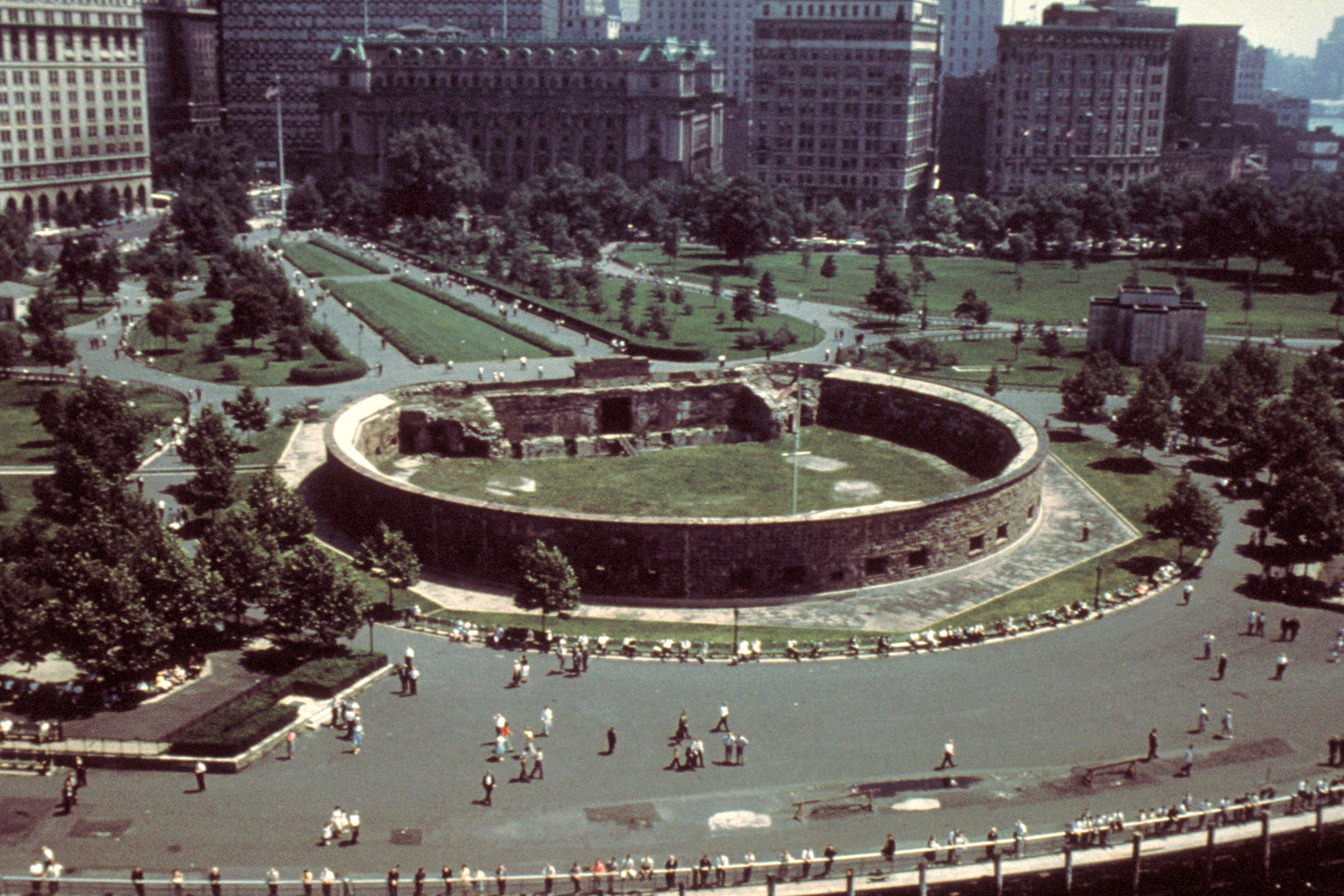
Castle Clinton aerial view
Summary
edit| Description | Aerial view of Castle Clinton National Monument, New York | |||
| Date | (original upload date); according to the information provided with the original photograph, it had to be taken somewhere in time between 1980 and 1999 | |||
| Source |
|
|||
| Author | National Park Service's staff. Cropped by Blackcat | |||
| Permission (Reusing this file) |
|
|||
| Other versions |
.jpg)
| Camera location | | View this and other nearby images on: OpenStreetMap |
|---|
File history
Click on a date/time to view the file as it appeared at that time.
| Date/Time | Thumbnail | Dimensions | User | Comment | |
|---|---|---|---|---|---|
| current | 09:55, 22 April 2021 | | 2,700 × 1,800 (1.28 MB) | Blackcat (talk | contribs) | Uploaded own work with UploadWizard |
You cannot overwrite this file.
File usage on Commons
There are no pages that use this file.
File usage on other wikis
The following other wikis use this file:
- Usage on de.wikivoyage.org
- Usage on en.wikipedia.org
- Usage on fr.wikipedia.org
- Usage on it.wikipedia.org
- Usage on pt.wikipedia.org
- Usage on ru.wikipedia.org
- Usage on www.wikidata.org