File:Castle of Vitre.jpg

Size of this preview: 800 × 312 pixels. Other resolutions: 320 × 125 pixels | 640 × 249 pixels | 1,024 × 399 pixels | 2,500 × 974 pixels.
Original file (2,500 × 974 pixels, file size: 267 KB, MIME type: image/jpeg)
Captions
Captions
Add a one-line explanation of what this file represents
Summary
edit
| Description |
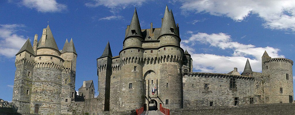
Deutsch: Ansicht der Burg Vitré; gesehen von der östlichen Außenseite
English: View on the east side of Vitré castle.
Français : Vue à la château fort de Vitré, côte est. |
| Date | |
| Source | Own work |
| Author | Patchy |
| Other versions | Extrem high-resoluted version (8145px*3172px) available. Please write a message to me, the author (Patchy)-> I could upload the file on rapidshare etc. for you. |
| Camera location | | View this and other nearby images on: OpenStreetMap |
|---|
Licensing
edit
| I, the copyright holder of this work, release this work into the public domain. This applies worldwide. In some countries this may not be legally possible; if so: I grant anyone the right to use this work for any purpose, without any conditions, unless such conditions are required by law. |
File history
Click on a date/time to view the file as it appeared at that time.
| Date/Time | Thumbnail | Dimensions | User | Comment | |
|---|---|---|---|---|---|
| current | 10:33, 19 February 2010 | 2,500 × 974 (267 KB) | Patchy~commonswiki (talk | contribs) | {{Information |Description={{de|1=Ansicht der Burg in Vitré; gesehen von der Außenseite Ost.}} {{en|1=View on the east side of Vitré castle.}} {{fr|1=Vue à la château fort de Vitré- côte est.}} |Source={{own}} |Author=Patchy |Date=2 |
You cannot overwrite this file.
File usage on Commons
There are no pages that use this file.
File usage on other wikis
The following other wikis use this file:
- Usage on bg.wikipedia.org
- Usage on de.wikipedia.org
- Usage on en.wikipedia.org
- Usage on es.wikipedia.org
- Usage on ko.wikipedia.org
- Usage on th.wikipedia.org
- Usage on www.wikidata.org
- Usage on zh-min-nan.wikipedia.org