File:Cathédrale Saint-Étienne de Toulouse - Salomon tenant le plan de Jérusalem par Despax PM31000747.jpg

Original file (2,960 × 4,048 pixels, file size: 5.79 MB, MIME type: image/jpeg)
Captions
Captions
Summary
|
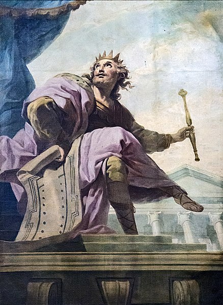
Cathédrale Saint-Étienne from Toulouse, Solomon holding the map of Jerusalem by Jean-Baptiste Despax | ||||||||||||||||||||||||||||||||||||||||||||||||||||||||||||||||||||||||||||||||||
|
Object
Photograph
Licensing
| ||||||||||||||||||||||||||||||||||||||||||||||||||||||||||||||||||||||||||||||||||


File history
Click on a date/time to view the file as it appeared at that time.
| Date/Time | Thumbnail | Dimensions | User | Comment | |
|---|---|---|---|---|---|
| current | 07:11, 7 July 2016 | | 2,960 × 4,048 (5.79 MB) | Archaeodontosaurus (talk | contribs) | {{Information |Description ={{en|1=v}} |Source ={{own}} |Author =Archaeodontosaurus |Date = |Permission = |other_versions = }} |
You cannot overwrite this file.
File usage on Commons
The following 7 pages use this file:
- Cathédrale Saint-Étienne
- User:Geagea/Israel/2016 July 7
- User talk:Archaeodontosaurus/Deuxième semestre 2016
- Commons:Valued image candidates/Cathédrale Saint-Étienne de Toulouse - Salomon tenant le plan de Jérusalem par Despax PM31000747.jpg
- File:Cathédrale Saint-Étienne de Toulouse - Saint Paul ressuscitant Eutyque par Jacques François Courtin PM31001406.jpg
- File:Cathédrale Saint-Étienne de Toulouse - Salomon tenant le plan de Jérusalem par Despax PM31000747.jpg
- File:Cathédrale Saint-Étienne de Toulouse - Zachary visité par l'ange par Despax PM31000747.jpg
File usage on other wikis
The following other wikis use this file:
- Usage on be.wikisource.org
- Usage on en.wikipedia.org
- Usage on fr.wikipedia.org
- Usage on pnb.wikipedia.org
- Usage on pt.wikipedia.org
- Usage on ur.wikipedia.org