File:Cattlegate Flood Relief Channel.JPG
Size of this preview: 800 × 600 pixels. Other resolutions: 320 × 240 pixels | 640 × 480 pixels | 1,024 × 768 pixels | 1,280 × 960 pixels | 2,304 × 1,728 pixels.
Original file (2,304 × 1,728 pixels, file size: 1.53 MB, MIME type: image/jpeg)
Captions
Captions
Add a one-line explanation of what this file represents
Summary edit
| Description |
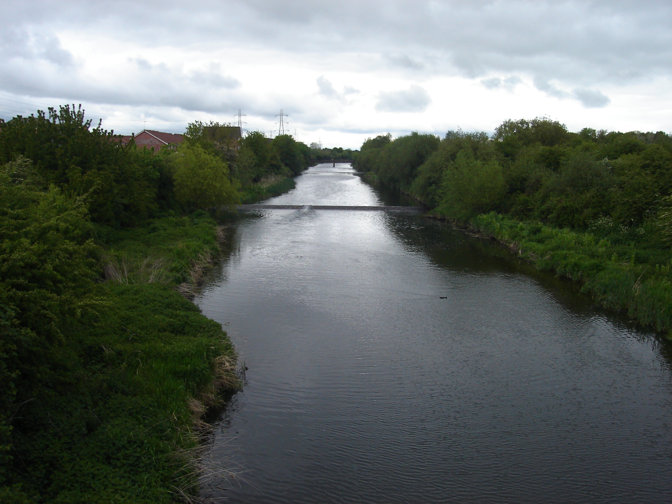
English: The view north of the River Lee Flood Relief Channel is known as the Cattlegate Flood Relief Channel at this point. The channel forms the eastern boundary of the the Enfield Village Island development which can be partially seen to the left of the photo. Sewardstone Marsh is pictured on the right |
| Date | |
| Source | Own work |
| Author | Northmetpit |
Licensing edit
| I, the copyright holder of this work, release this work into the public domain. This applies worldwide. In some countries this may not be legally possible; if so: I grant anyone the right to use this work for any purpose, without any conditions, unless such conditions are required by law. |
File history
Click on a date/time to view the file as it appeared at that time.
| Date/Time | Thumbnail | Dimensions | User | Comment | |
|---|---|---|---|---|---|
| current | 11:11, 25 November 2010 | | 2,304 × 1,728 (1.53 MB) | Northmetpit (talk | contribs) | {{Information |Description={{en|1=The view north of the River Lee Flood Relief Channel is known as the Cattlegate Flood Relief Channel at this point. The channel forms the eastern boundary of the the [[:en:Enfield Is |
You cannot overwrite this file.
File usage on Commons
There are no pages that use this file.