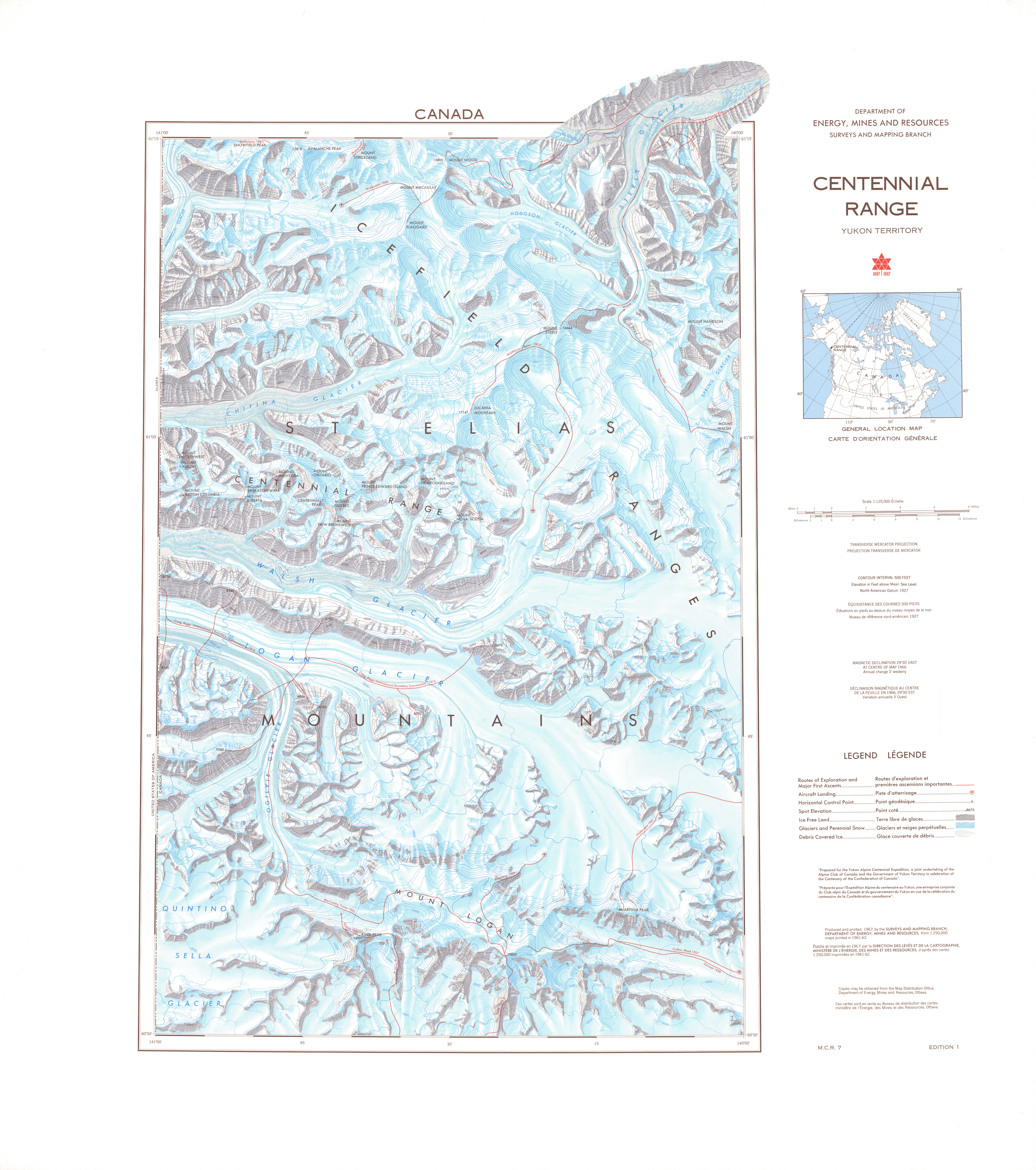
File:CentennialRangeNRCmap.jpg
Size of this preview: 531 × 599 pixels. Other resolutions: 213 × 240 pixels | 425 × 480 pixels | 680 × 768 pixels | 907 × 1,024 pixels | 1,814 × 2,048 pixels | 4,563 × 5,151 pixels.
Original file (4,563 × 5,151 pixels, file size: 3.57 MB, MIME type: image/jpeg)
Captions
Captions
Add a one-line explanation of what this file represents
Summary edit
| Description | Map of the Centennial Range, Yukon, Canada. From Government of Canada; Natural Resources Canada; Earth Sciences Sector; The Atlas of Canada. Series:Atlas of Canada, Various, 1965 to 2006. Issue:MCR 0007 |
| Date | |
| Source | GeoGratis API, Government of Canada. http://geogratis.gc.ca/api/en/nrcan-rncan/ess-sst/2093f61c-2ae2-5b51-994e-de04a5e58040.html |
| Author | "© Department of Natural Resources Canada. All rights reserved." |
| Permission (Reusing this file) |
GEOGRATIS LICENCE AGREEMENT, see http://geogratis.cgdi.gc.ca/geogratis/en/licence.jsp |
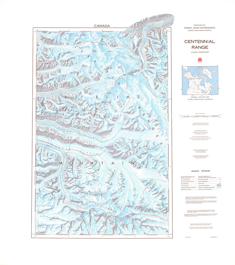
| Other versions | Derivative works of this file: CentennialRangeNRCmap cropped.jpg |
Licensing edit

|
The copyright holder of this file allows anyone to use it for any purpose, provided that the copyright holder is properly attributed. Redistribution, derivative work, commercial use, and all other use is permitted. |
|
|
File history
Click on a date/time to view the file as it appeared at that time.
| Date/Time | Thumbnail | Dimensions | User | Comment | |
|---|---|---|---|---|---|
| current | 05:01, 22 March 2013 | | 4,563 × 5,151 (3.57 MB) | The Interior (talk | contribs) | {{Information |Description=Map of the Centennial Range, Yukon, Canada. From Government of Canada; Natural Resources Canada; Earth Sciences Sector; The Atlas of Canada. Series:Atlas of Canada, Various, 1965 to 2006. Issue:MCR 0007 |Source=GeoGratis API... |
You cannot overwrite this file.
File usage on Commons
The following page uses this file: