File:Central Holiday City.jpg
Size of this preview: 800 × 532 pixels. Other resolutions: 320 × 213 pixels | 640 × 426 pixels | 1,024 × 681 pixels | 1,280 × 851 pixels | 2,560 × 1,702 pixels | 6,016 × 4,000 pixels.
Original file (6,016 × 4,000 pixels, file size: 5.62 MB, MIME type: image/jpeg)
Captions
Captions
Add a one-line explanation of what this file represents
| Camera location | | View this and other nearby images on: OpenStreetMap |
|---|
| Description |
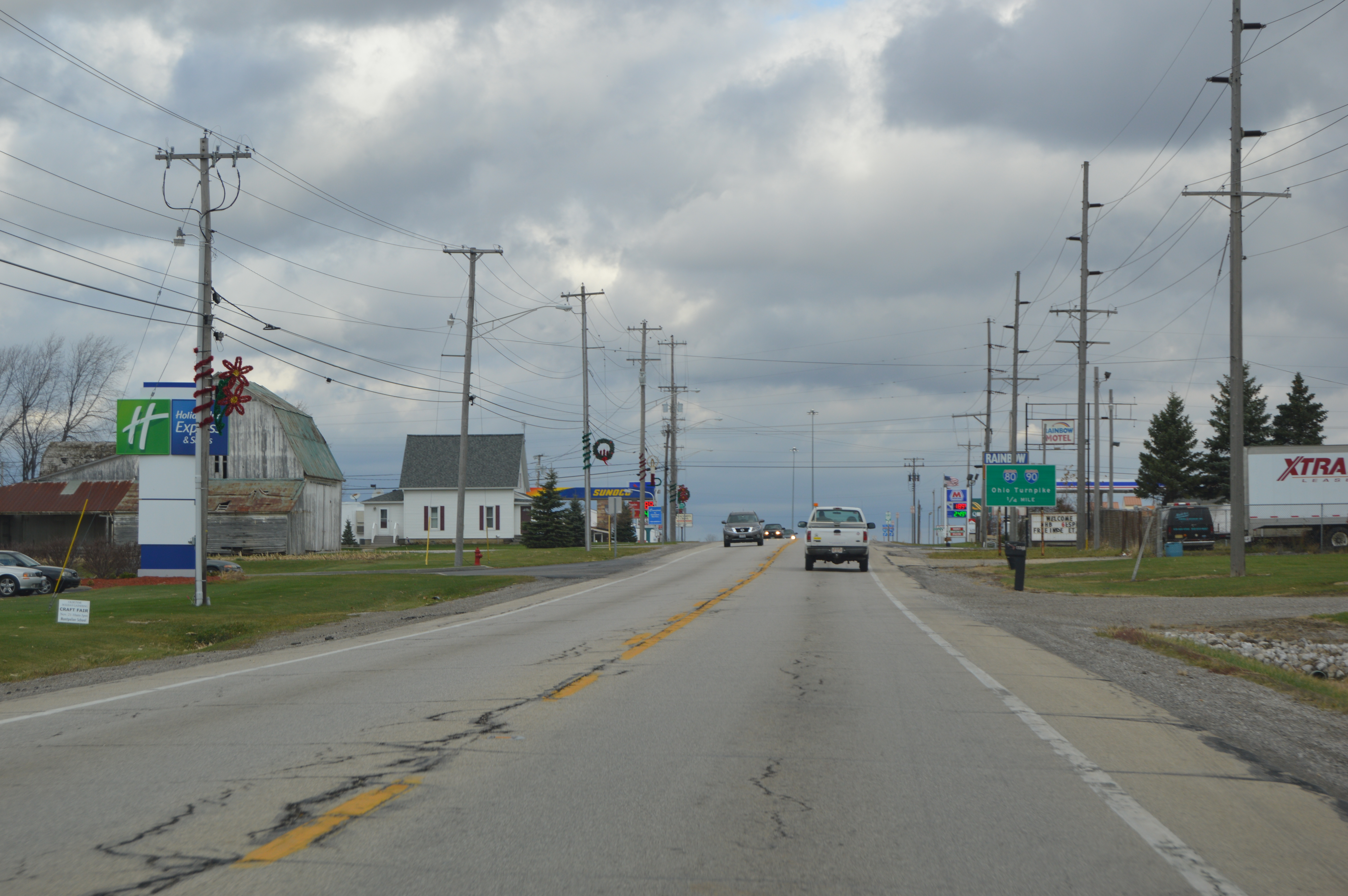
English: Looking northward in U.S. Route 20 Alternate/State Route 15 in Holiday City, Ohio, United States. Most of the village consists of farmland, and this area is typical of the remainder, which is primarily a servicee area for an Ohio Turnpike interchange. |
||
| Date | Taken on 19 November 2015 | ||
| Source | Own work | ||
| Author | Nyttend | ||
| Permission (Reusing this file) |
|
File history
Click on a date/time to view the file as it appeared at that time.
| Date/Time | Thumbnail | Dimensions | User | Comment | |
|---|---|---|---|---|---|
| current | 16:34, 22 November 2015 | | 6,016 × 4,000 (5.62 MB) | Nyttend (talk | contribs) | {{Location|41|36|23|N|84|33|20.5|W}} {{Information |Description={{en|Looking northward in {{w|U.S. Route 20}} Alternate/{{w|Ohio State Route 15|State Route 15}} in {{w|Holiday City, Ohio|Holiday City}}, {{w|Ohio}}, {{w|United States}}. Most of the vil... |
You cannot overwrite this file.
File usage on Commons
The following page uses this file:
File usage on other wikis
The following other wikis use this file:
- Usage on ar.wikipedia.org
- Usage on ca.wikipedia.org
- Usage on en.wikipedia.org
- Usage on es.wikipedia.org
- Usage on eu.wikipedia.org
- Usage on fr.wikipedia.org
- Usage on ht.wikipedia.org
- Usage on it.wikipedia.org
- Usage on nl.wikipedia.org
- Usage on pl.wikipedia.org
- Usage on pt.wikipedia.org
- Usage on sr.wikipedia.org
- Usage on uk.wikipedia.org
- Usage on vi.wikipedia.org
- Usage on www.wikidata.org
- Usage on zh-min-nan.wikipedia.org