File:Cham villege - panoramio.jpg
Size of this preview: 800 × 600 pixels. Other resolutions: 320 × 240 pixels | 640 × 480 pixels | 1,024 × 768 pixels | 1,280 × 960 pixels | 2,048 × 1,536 pixels.
Original file (2,048 × 1,536 pixels, file size: 1,022 KB, MIME type: image/jpeg)
Captions
Captions
Add a one-line explanation of what this file represents
Summary
edit
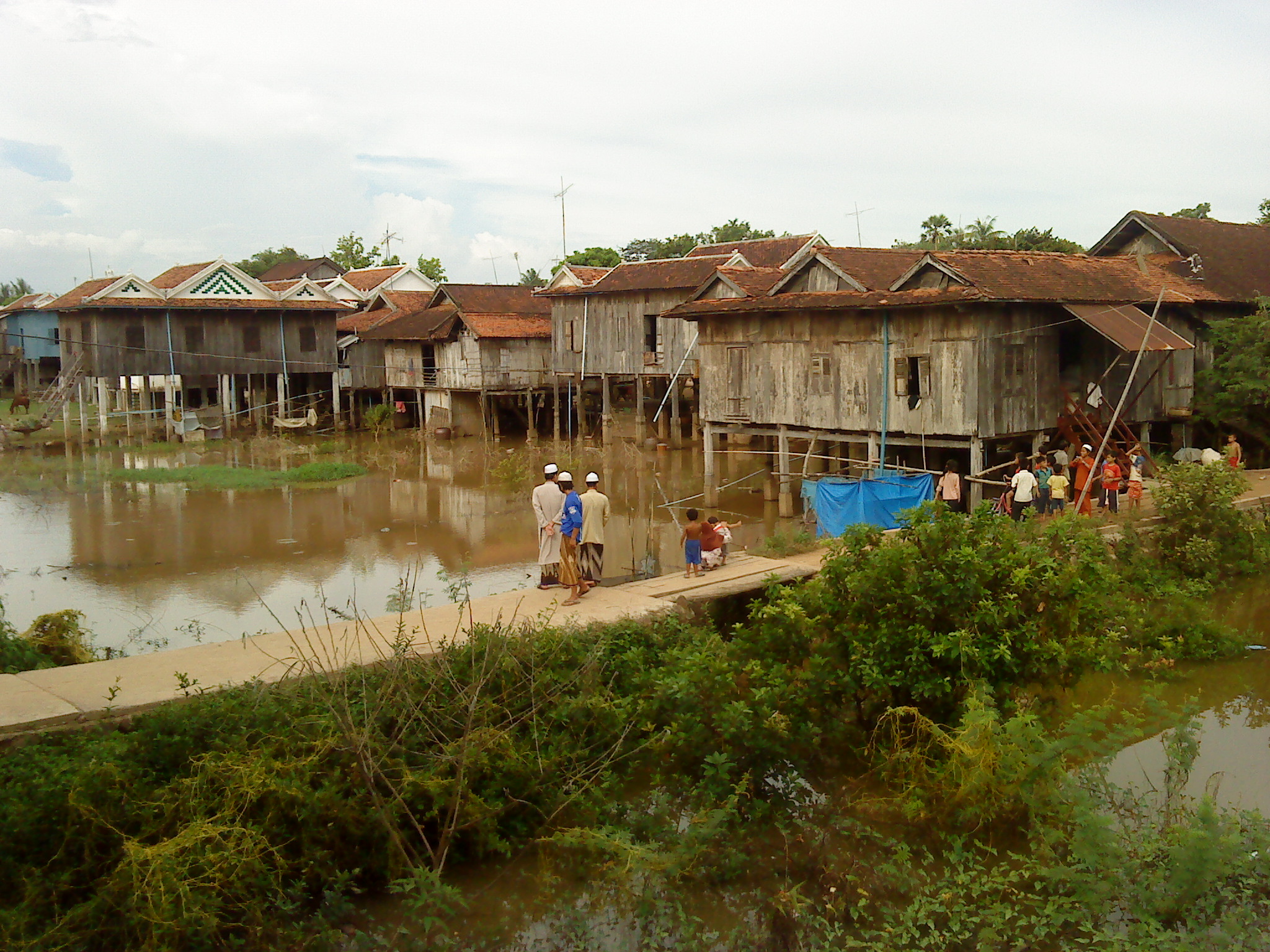
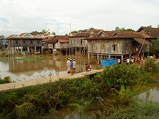
| Description | cham villege | ||
| Date | Taken on 12 September 2009 | ||
| Source | https://web.archive.org/web/20161013201514/http://www.panoramio.com/photo/27476976 | ||
| Author | sophyan2005 | ||
| Permission (Reusing this file) |
This file is licensed under the Creative Commons Attribution 3.0 Unported license. Attribution: sophyan2005
|
||
| Tags (from Panoramio photo page) | ឃុំទ្រា |
| Camera location | | View this and other nearby images on: OpenStreetMap |
|---|
File history
Click on a date/time to view the file as it appeared at that time.
| Date/Time | Thumbnail | Dimensions | User | Comment | |
|---|---|---|---|---|---|
| current | 16:37, 3 December 2016 | | 2,048 × 1,536 (1,022 KB) | Panoramio upload bot (talk | contribs) | == {{int:filedesc}} == {{Information |description=cham villege |date={{Taken on|2009-09-12}} |source=http://www.panoramio.com/photo/27476976 |author=[http://www.panoramio.com/user/3457924?with_photo_id=27476976 sophyan2005] |permission={{cc-by-3.0|soph... |
You cannot overwrite this file.
File usage on Commons
There are no pages that use this file.