File:Chania Minoische Ausgrabungen 02.jpg
Size of this preview: 800 × 600 pixels. Other resolutions: 320 × 240 pixels | 640 × 480 pixels | 1,024 × 768 pixels | 1,280 × 959 pixels | 2,560 × 1,919 pixels | 3,585 × 2,687 pixels.
Original file (3,585 × 2,687 pixels, file size: 5.91 MB, MIME type: image/jpeg)
Captions
Captions
Add a one-line explanation of what this file represents
| Description |
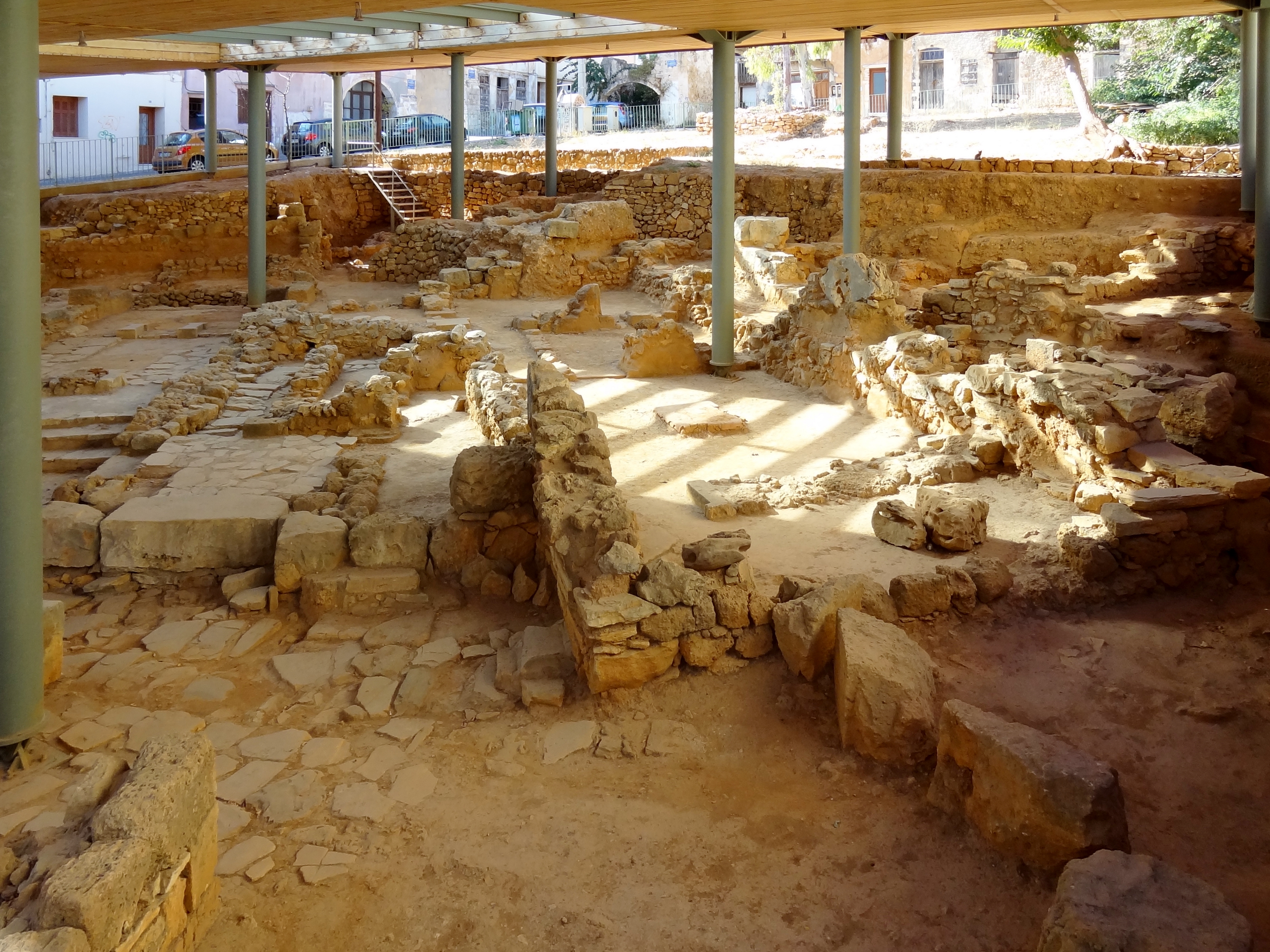
Deutsch: Minoische Ausgrabungen auf dem Kastelli-Hügel in Chania, Gemeinde Chania, Regionalbezirk Chania, Kreta, Griechenland |
||
| Date | |||
| Source | Own work | ||
| Author | Olaf Tausch | ||
| Permission (Reusing this file) |
I, the copyright holder of this work, hereby publish it under the following licenses:
This file is licensed under the Creative Commons Attribution 3.0 Unported license.
You may select the license of your choice. |

| Camera location | | View this and other nearby images on: OpenStreetMap |
|---|
File history
Click on a date/time to view the file as it appeared at that time.
| Date/Time | Thumbnail | Dimensions | User | Comment | |
|---|---|---|---|---|---|
| current | 19:20, 14 July 2018 | | 3,585 × 2,687 (5.91 MB) | Oltau (talk | contribs) | Ausrichtung korrigiert |
| 17:51, 13 December 2015 |  | 4,248 × 3,185 (7.43 MB) | Oltau (talk | contribs) | Neu bearbeitet | |
| 22:46, 11 December 2015 |  | 4,241 × 3,185 (7.41 MB) | Oltau (talk | contribs) | Neu bearbeitet | |
| 20:33, 1 December 2012 |  | 4,233 × 3,174 (2.35 MB) | Oltau (talk | contribs) | {{Information |Description={{de|1=Minoische Ausgrabungen auf dem Kastelli-Hügel in Chania, Gemeinde Chania, Regionalbezirk Chania, Kreta, Griechenland}} |Source={{own}} |Author=Olaf Tausch |Date=2012-09-18 |Permission={{self|GFDL|cc-by-... |
You cannot overwrite this file.
File usage on Commons
The following page uses this file:
File usage on other wikis
The following other wikis use this file:
- Usage on ar.wikipedia.org
- Usage on ca.wikipedia.org
- Usage on de.wikipedia.org
- Usage on en.wikipedia.org
- Usage on es.wikipedia.org
- Usage on fr.wikipedia.org
- Usage on sl.wikipedia.org
- Usage on uk.wikipedia.org
- Usage on www.wikidata.org