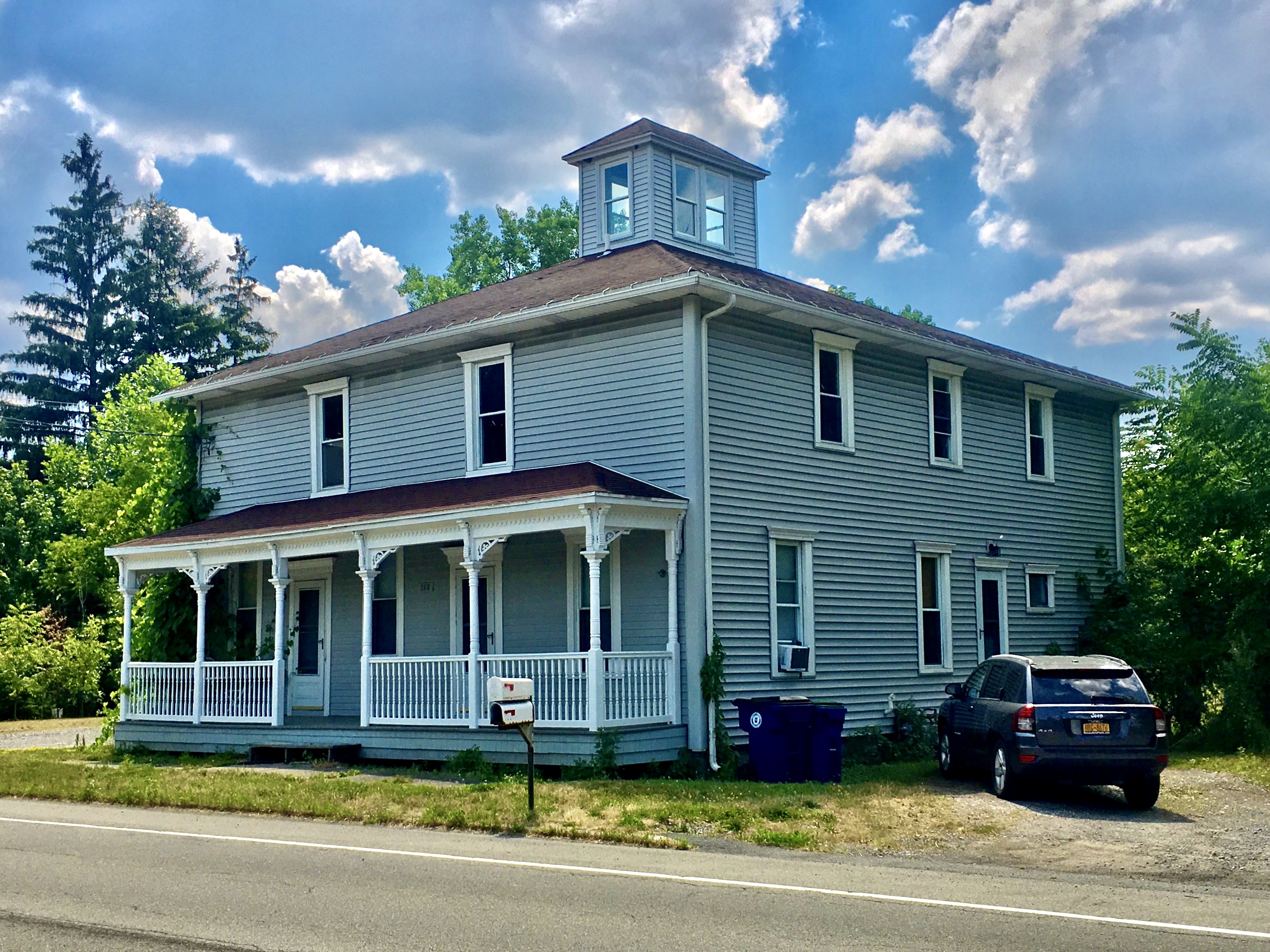
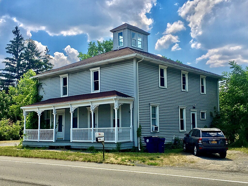
File:Charles Dean House, Amherst, New York - 20200710.jpg
Size of this preview: 800 × 600 pixels. Other resolutions: 320 × 240 pixels | 640 × 480 pixels | 1,024 × 768 pixels | 1,280 × 960 pixels | 2,560 × 1,920 pixels | 2,790 × 2,092 pixels.
Original file (2,790 × 2,092 pixels, file size: 1.99 MB, MIME type: image/jpeg)
Captions
Captions
Add a one-line explanation of what this file represents
Summary edit
| Description |
English: The Charles Dean House, 270 Campbell Boulevard, Amherst, New York, July 2020. A handsome vernacular Italianate dating to the early years of that style's popularity - at least as far back as 1865, and possibly as much as a decade earlier - the building's first recorded occupant was Charles Dean (1834-1900), who, in addition to living there with his wife Adelaide and three children, operated a general store there. By 1870 he was living in Tonawanda, but the building, centrally located in the buzzing hamlet of Getzville, went on to serve a multiplicity of functions under a multiplicity of different owners: variously, it housed a tavern, a post office, as well as (on its second floor) a court house and a dance hall. Above all, though, the Dean House served as a roadside inn for travellers along the New York Central's Canandaigua and Niagara Falls Railroad, the so-called "Peanut Line" which extended between those two cities between 1854 and its abandonment in 1963 (passenger service having ended in 1932), with stops in Amherst at Getzville, Transit Station (now East Amherst), and Vincent's Corners (a no-longer-distinct hamlet centered along Niagara Falls Boulevard immediately south of what is today Ellicott Creek Park). It's now a two-unit apartment building in private hands. |
| Date | Taken on 10 July 2020, 14:39:07 |
| Source | Own work |
| Author | Andre Carrotflower |
| Camera location | | View this and other nearby images on: OpenStreetMap |
|---|
Licensing edit
I, the copyright holder of this work, hereby publish it under the following license:
This file is licensed under the Creative Commons Attribution-Share Alike 4.0 International license.
- You are free:
- to share – to copy, distribute and transmit the work
- to remix – to adapt the work
- Under the following conditions:
- attribution – You must give appropriate credit, provide a link to the license, and indicate if changes were made. You may do so in any reasonable manner, but not in any way that suggests the licensor endorses you or your use.
- share alike – If you remix, transform, or build upon the material, you must distribute your contributions under the same or compatible license as the original.
File history
Click on a date/time to view the file as it appeared at that time.
| Date/Time | Thumbnail | Dimensions | User | Comment | |
|---|---|---|---|---|---|
| current | 20:44, 16 August 2021 | | 2,790 × 2,092 (1.99 MB) | Andre Carrotflower (talk | contribs) | Adjust levels |
| 06:57, 17 July 2020 |  | 2,790 × 2,092 (1.74 MB) | Andre Carrotflower (talk | contribs) | Uploaded own work with UploadWizard |
You cannot overwrite this file.
File usage on Commons
The following page uses this file:
- File:Dean House - 20200710.jpg (file redirect)
File usage on other wikis
The following other wikis use this file:
- Usage on en.wikipedia.org