File:ChennaiTSEC 1757.JPG
Size of this preview: 450 × 600 pixels. Other resolutions: 180 × 240 pixels | 360 × 480 pixels | 576 × 768 pixels | 768 × 1,024 pixels | 1,536 × 2,048 pixels.
Original file (1,536 × 2,048 pixels, file size: 457 KB, MIME type: image/jpeg)
Captions
Captions
Add a one-line explanation of what this file represents
| Description |
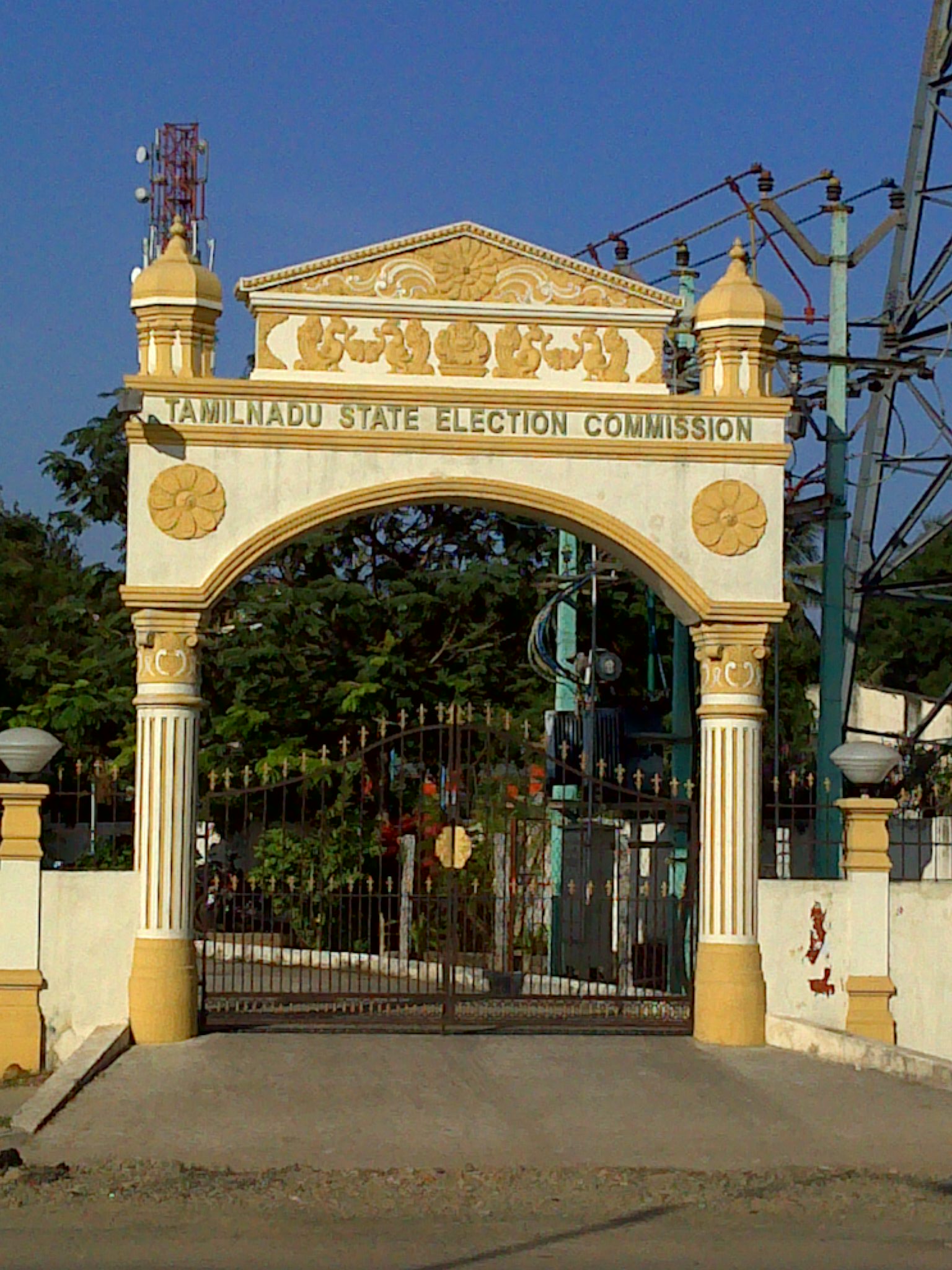
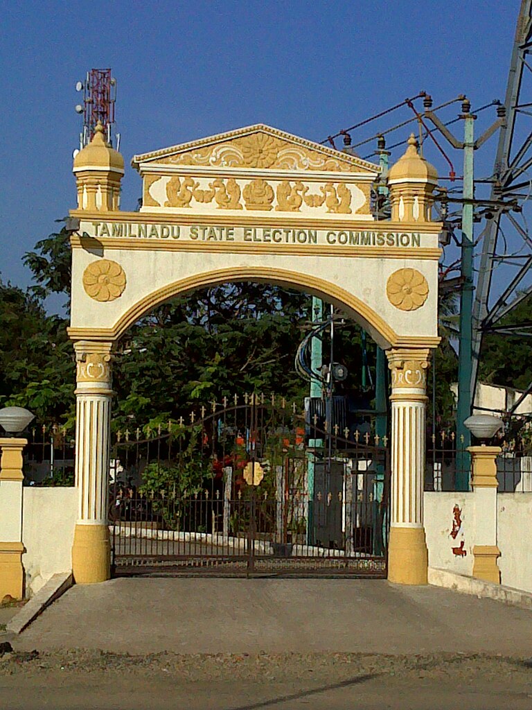
English: Tamilnadu State Election Commission |
|||
| Source | Own work | |||
| Author | Indu | |||
| Permission (Reusing this file) |
|

| Camera location | | View this and other nearby images on: OpenStreetMap |
|---|
File history
Click on a date/time to view the file as it appeared at that time.
| Date/Time | Thumbnail | Dimensions | User | Comment | |
|---|---|---|---|---|---|
| current | 09:36, 17 April 2011 | | 1,536 × 2,048 (457 KB) | Indu (talk | contribs) | {{Information |Description ={{en|1=Tamilnadu State Election Commission }} |Source ={{own}} |Author =Indu |Date = |Permission ={{GFDL-1.2}} |other_versions = }} Category:Politics of Tamil Nadu |
You cannot overwrite this file.
File usage on Commons
The following page uses this file:
File usage on other wikis
The following other wikis use this file:
- Usage on en.wikipedia.org
- Usage on pl.wikipedia.org