File:Chernigov - Shubert map 1v - R14L8.JPG

Size of this preview: 538 × 600 pixels. Other resolutions: 215 × 240 pixels | 430 × 480 pixels | 689 × 768 pixels | 918 × 1,024 pixels | 1,837 × 2,048 pixels | 5,170 × 5,765 pixels.
Original file (5,170 × 5,765 pixels, file size: 13.54 MB, MIME type: image/jpeg)
Captions
Captions
Add a one-line explanation of what this file represents
Summary
edit
| Description |
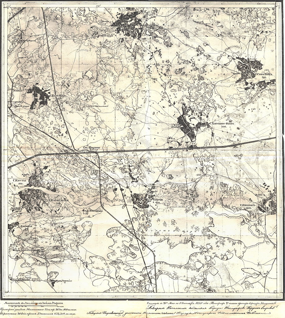
English: "Shubert map". Fragment of topographic map of Chernigov Governorate years. Printed in 1860. 1 versta in inch (420 m in 1 cm).
Русский: Карта Шуберта. Лист из комплекта топографических карт Черниговоской губернии.1855 г. Масштаб 1 верста в дюйме. (1 см-420м).
This file was uploaded with Commonist. |
| Date | |
| Source | http://www.kopatich.ru/load/starinnye_karty/chernigovskaja_gubernija_1_versta_1855/2-1-0-357 |
| Author |
Русский: Фёдор Фёдорович Шуберт (1789-1865), гравёры Военно-топографического депо, "вольные" гравёры |
Licensing
edit
|
This work is in the public domain in its country of origin and other countries and areas where the copyright term is the author's life plus 70 years or fewer. | |
| This file has been identified as being free of known restrictions under copyright law, including all related and neighboring rights. | |
File history
Click on a date/time to view the file as it appeared at that time.
| Date/Time | Thumbnail | Dimensions | User | Comment | |
|---|---|---|---|---|---|
| current | 14:25, 22 November 2011 | | 5,170 × 5,765 (13.54 MB) | ShinePhantom (talk | contribs) |
You cannot overwrite this file.
File usage on Commons
There are no pages that use this file.