File:Cherokee Indian and Creek (Muscogee) Indian territory map within the 1823 Map of Alabama and Georgia counties (cropped).jpeg
Size of this preview: 449 × 599 pixels. Other resolutions: 180 × 240 pixels | 360 × 480 pixels | 576 × 768 pixels | 768 × 1,024 pixels | 2,000 × 2,667 pixels.
Original file (2,000 × 2,667 pixels, file size: 1.44 MB, MIME type: image/jpeg)
Captions
Captions
Add a one-line explanation of what this file represents
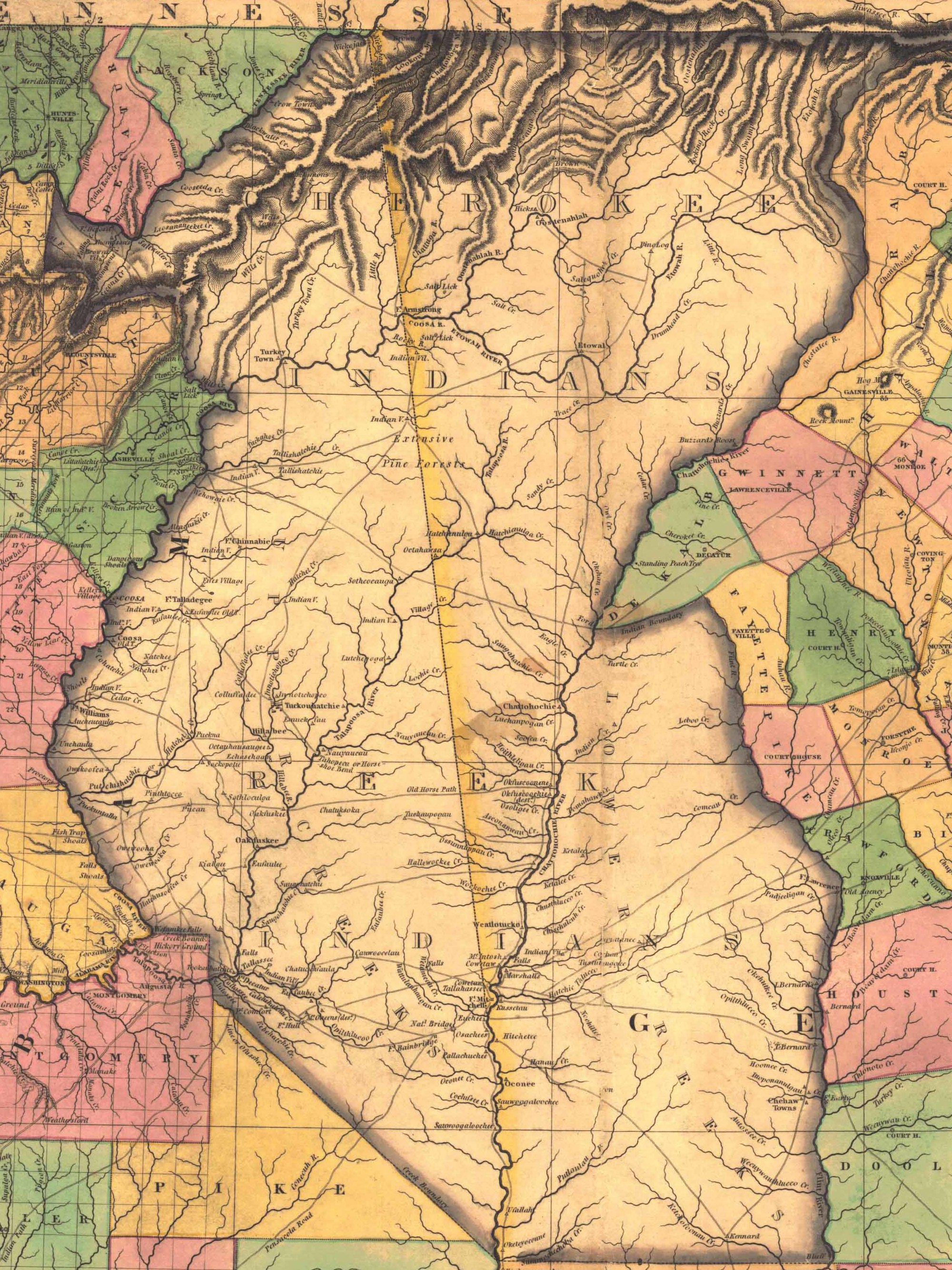
| Description | "Georgia and Alabama", showing county boundaries & Native territories | |||||||||||||||||||
| Date | ||||||||||||||||||||
| Source | Historical Maps of Alabama collection, University of Alabama Department of Geography | |||||||||||||||||||
| Author |
|
|||||||||||||||||||
| Permission (Reusing this file) |
|
|||||||||||||||||||
| Other versions | ||||||||||||||||||||

File history
Click on a date/time to view the file as it appeared at that time.
| Date/Time | Thumbnail | Dimensions | User | Comment | |
|---|---|---|---|---|---|
| current | 03:51, 31 March 2021 | | 2,000 × 2,667 (1.44 MB) | Ooligan (talk | contribs) | File:1823 Map of Alabama and Georgia counties.jpeg cropped 65 % horizontally, 40 % vertically using CropTool with lossless mode. |
You cannot overwrite this file.
File usage on Commons
The following page uses this file:
_Indian_territory_map_within_the_1823_Map_of_Alabama_and_Georgia_counties_(cropped).jpeg&oldid=855574815)