File:Chester County Pennsylvania incorporated and unincorporated areas Chadds Ford highlighted.svg

Size of this PNG preview of this SVG file: 800 × 554 pixels. Other resolutions: 320 × 222 pixels | 640 × 443 pixels | 1,024 × 709 pixels | 1,280 × 886 pixels | 2,560 × 1,773 pixels | 1,070 × 741 pixels.
Original file (SVG file, nominally 1,070 × 741 pixels, file size: 876 KB)
Captions
Captions
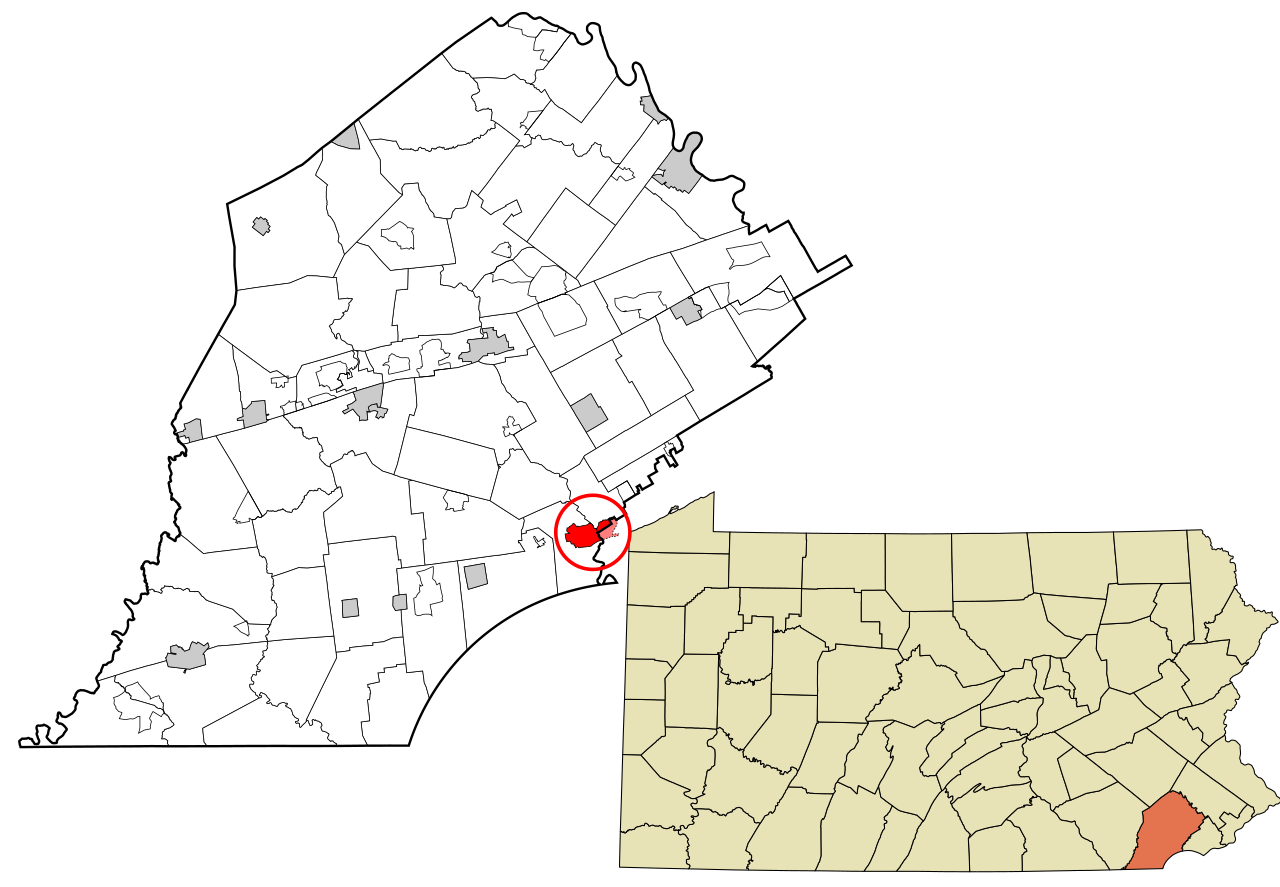
Map showing the location of the Chadds Ford CDP in Chester County, PA
Summary
edit
| Description |
English: Map showing the location of the Chadds Ford CDP in Chester County, PA |
| Date | |
| Source |
Created by Physeters. Based upon the work of Rcsprinter123. |
| Author | Physeters |
Licensing
edit
I, the copyright holder of this work, hereby publish it under the following license:
This file is licensed under the Creative Commons Attribution-Share Alike 4.0 International license.
- You are free:
- to share – to copy, distribute and transmit the work
- to remix – to adapt the work
- Under the following conditions:
- attribution – You must give appropriate credit, provide a link to the license, and indicate if changes were made. You may do so in any reasonable manner, but not in any way that suggests the licensor endorses you or your use.
- share alike – If you remix, transform, or build upon the material, you must distribute your contributions under the same or compatible license as the original.
File history
Click on a date/time to view the file as it appeared at that time.
| Date/Time | Thumbnail | Dimensions | User | Comment | |
|---|---|---|---|---|---|
| current | 22:07, 6 December 2022 | | 1,070 × 741 (876 KB) | Physeters (talk | contribs) | small change |
| 20:23, 31 October 2022 |  | 1,070 × 741 (876 KB) | Physeters (talk | contribs) | Uploaded own work with UploadWizard |
You cannot overwrite this file.
File usage on Commons
The following page uses this file:
File usage on other wikis
The following other wikis use this file:
- Usage on en.wikipedia.org
- Usage on www.wikidata.org