File:Chhattisgarh locator map.svg

Size of this PNG preview of this SVG file: 607 × 600 pixels. Other resolutions: 243 × 240 pixels | 486 × 480 pixels | 778 × 768 pixels | 1,037 × 1,024 pixels | 2,074 × 2,048 pixels | 2,269 × 2,241 pixels.
Original file (SVG file, nominally 2,269 × 2,241 pixels, file size: 156 KB)
Captions
Captions
Add a one-line explanation of what this file represents
| Title |
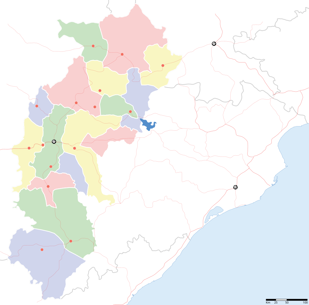
Chhattisgarh locator map |
||
| Description |
Locator map for the Indian state of w:Chhattisgarh. Coordinates: top=24.27, bottom=17.691 |
||
| Date | |||
| Source |
Own work |
||
| Creator |
|
||
| Permission (Reusing this file) |
I, the copyright holder of this work, hereby publish it under the following license: This file is licensed under the Creative Commons Attribution-Share Alike 3.0 Unported license.
|
||
| Geotemporal data | |||
| Date depicted | second half of 20th century and 21st century | ||
| Georeferencing | If inappropriate please set warp_status = skip to hide. | ||
| Archival data | |||
| Notes | Part of WikiProject India Maps | ||
File history
Click on a date/time to view the file as it appeared at that time.
| Date/Time | Thumbnail | Dimensions | User | Comment | |
|---|---|---|---|---|---|
| current | 17:34, 6 September 2008 | | 2,269 × 2,241 (156 KB) | Planemad (talk | contribs) | {{Information |Description={{en|1=a}} |Source=Own work by uploader |Author=PlaneMad |Date= |Permission= |other_versions= }} <!--{{ImageUpload|full}}--> |
You cannot overwrite this file.
File usage on Commons
The following 2 pages use this file:
File usage on other wikis
The following other wikis use this file:
- Usage on awa.wikipedia.org
- Usage on de.wikipedia.org
- Usage on en.wikipedia.org
- Usage on fa.wikipedia.org
- Usage on hi.wikipedia.org
- धमतरी जिला
- बस्तर जिला
- बिलासपुर जिला, छत्तीसगढ़
- बस्तर
- कोरिया (छत्तीसगढ़)
- सदस्य:Charu
- साँचा:छत्तीसगढ़ के लोकसभा निर्वाचन क्षेत्र
- सरगुजा लोक सभा निर्वाचन क्षेत्र
- बस्तर लोक सभा निर्वाचन क्षेत्र
- बिलासपुर लोक सभा निर्वाचन क्षेत्र
- दुर्ग लोक सभा निर्वाचन क्षेत्र
- जांजगीर-चंपा लोक सभा निर्वाचन क्षेत्र
- कांकेर लोक सभा निर्वाचन क्षेत्र
- कोरबा लोक सभा निर्वाचन क्षेत्र
- महासमुन्द लोक सभा निर्वाचन क्षेत्र
- रायपुर लोक सभा निर्वाचन क्षेत्र
- राजनन्दगांव लोक सभा निर्वाचन क्षेत्र
- टुण्ड्री
- देवपहरी
- साँचा:सदस्य दुर्ग
- रायगढ़ लोक सभा निर्वाचन क्षेत्र
- कटवार (छत्तीसगढ़)
- Usage on incubator.wikimedia.org
- Usage on mai.wikipedia.org
- Usage on oc.wikipedia.org
- Usage on or.wikipedia.org
- Usage on pnb.wikipedia.org
- Usage on ru.wikinews.org
- Usage on sw.wikipedia.org
- Usage on ta.wikipedia.org
- Usage on zh.wikipedia.org