File:China Tianjin adm location map.svg

Size of this PNG preview of this SVG file: 402 × 510 pixels. Other resolutions: 189 × 240 pixels | 378 × 480 pixels | 605 × 768 pixels | 807 × 1,024 pixels | 1,614 × 2,048 pixels.
Original file (SVG file, nominally 402 × 510 pixels, file size: 182 KB)
Captions
Captions
Add a one-line explanation of what this file represents
Summary edit
| Description |
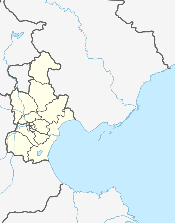
Français : Carte de géolocalisation de la municipalité spéciale de Tianjin
|
||||||||||||
| Date | |||||||||||||
| Source | Own work | ||||||||||||
| Author | Xfigpower | ||||||||||||
Licensing edit
I, the copyright holder of this work, hereby publish it under the following license:
This file is licensed under the Creative Commons Attribution-Share Alike 3.0 Unported license.
- You are free:
- to share – to copy, distribute and transmit the work
- to remix – to adapt the work
- Under the following conditions:
- attribution – You must give appropriate credit, provide a link to the license, and indicate if changes were made. You may do so in any reasonable manner, but not in any way that suggests the licensor endorses you or your use.
- share alike – If you remix, transform, or build upon the material, you must distribute your contributions under the same or compatible license as the original.
File history
Click on a date/time to view the file as it appeared at that time.
| Date/Time | Thumbnail | Dimensions | User | Comment | |
|---|---|---|---|---|---|
| current | 15:25, 19 August 2020 | | 402 × 510 (182 KB) | Xfigpower (talk | contribs) | Uploaded own work with UploadWizard |
You cannot overwrite this file.
File usage on Commons
There are no pages that use this file.
File usage on other wikis
The following other wikis use this file:
- Usage on arz.wikipedia.org
- Usage on de.wikipedia.org
- Tianjin Olympic Centre Stadium
- Dagang
- Wikipedia:Kartenwerkstatt/Positionskarten/Asien
- Radio- und Fernsehturm Tianjin
- Goldin Finance 117
- Sino Steel Tower
- Tianjin World Financial Center
- Tianjin Kerry Center
- Große Brücke von Tianjin
- Tianjin R&F Guangdong Tower
- Kraftwerk Panshan
- Vorlage:Positionskarte China Tianjin
- Usage on en.wikipedia.org
- Tianjin Binhai International Airport
- Temple of Great Compassion
- Zhongbei
- Beitang Subdistrict
- Xincheng, Tianjin
- Dule Temple
- Zhangguizhuang Subdistrict
- Yangliuqing
- Lutai
- Dakoutun
- Hexiwu
- Shuanggang, Tianjin
- Xianshuigu
- User:Zhouchengbin
- Xiaobailou Subdistrict
- Sungezhuang Manchu Ethnic Township
- Jinghai Town
- Wenchang Subdistrict, Tianjin
- Gaocun, Wuqing
- Zhongtang, Tianjin
- Module:Location map/data/China Tianjin
- Module:Location map/data/China Tianjin/doc
- Module:Location map/data/Tianjin
- Yuqiao Reservoir
- Beidagang Reservoir
- Wuxia Subdistrict
- User:Hiroooooo/Userboxes/CNdestination/Tianjin
- User:Hiroooooo/Userboxes/
- Module:Location map/data/Tianjin/doc
- User:Ncysea/Statistics
- Wikipedia:Userboxes/Travel/China
- Quanyechang Subdistrict
- Wudadao Subdistrict
- Xinxing Subdistrict, Tianjin
- Nanyingmen Subdistrict
- Nanshi Subdistrict, Tianjin
- Dawangzhuang Subdistrict
View more global usage of this file.