File:China Xinjiang Southern relief location map.svg

Size of this PNG preview of this SVG file: 572 × 599 pixels. Other resolutions: 229 × 240 pixels | 458 × 480 pixels | 733 × 768 pixels | 977 × 1,024 pixels | 1,955 × 2,048 pixels | 1,110 × 1,163 pixels.
Original file (SVG file, nominally 1,110 × 1,163 pixels, file size: 802 KB)
Captions
Captions
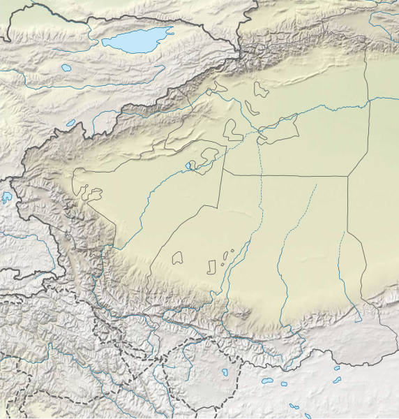
China Xinjiang Southern relief
Summary
edit
| Description |
中文:新疆南部地势图
N-S stretching 135% in SVG file. Geographic limits of the map:
English: Location map of the China Xinjiang Southern relief
N-S stretching 135% in SVG file. Geographic limits of the map:
|
| Date | |
| Source | Own work |
| Author | LuciferAhriman |
Licensing
edit
I, the copyright holder of this work, hereby publish it under the following license:
This file is licensed under the Creative Commons Attribution-Share Alike 4.0 International license.
- You are free:
- to share – to copy, distribute and transmit the work
- to remix – to adapt the work
- Under the following conditions:
- attribution – You must give appropriate credit, provide a link to the license, and indicate if changes were made. You may do so in any reasonable manner, but not in any way that suggests the licensor endorses you or your use.
- share alike – If you remix, transform, or build upon the material, you must distribute your contributions under the same or compatible license as the original.
File history
Click on a date/time to view the file as it appeared at that time.
| Date/Time | Thumbnail | Dimensions | User | Comment | |
|---|---|---|---|---|---|
| current | 10:09, 11 June 2022 | | 1,110 × 1,163 (802 KB) | LuciferAhriman (talk | contribs) | Uploaded own work with UploadWizard |
You cannot overwrite this file.
File usage on Commons
There are no pages that use this file.
File usage on other wikis
The following other wikis use this file:
- Usage on bn.wikipedia.org
- Usage on en.wikipedia.org
- Khunjerab Pass
- K2
- Muztagh Tower
- Sarpo Laggo Glacier
- Torugart Pass
- Gasherbrum I
- Broad Peak
- Gasherbrum II
- Kongur Tagh
- Jengish Chokusu
- Gasherbrum
- Gasherbrum III
- Mintaka Pass
- Kilik Pass
- Siachen Glacier
- Yarkand River
- Kulma Pass
- Karakul (Xinjiang)
- Tumxuk
- Artush
- Yinsugaiti Glacier
- Skil Brum
- Karakoram Pass
- Muztagh Ata
- Niya Town
- Baltoro Muztagh
- Siachen Muztagh
- Teram Kangri
- Skyang Kangri
- Chongtar Kangri
- Poskam County, Xinjiang
- Maralbexi County
- Payzawat County
- Yengisar County
- Shufu County
- Akqi County
- Shule County
- Bedel Pass
- Hindutash Pass
- Mustagh Pass
- Erkeshtam
- Shaksgam River
- Depsang Plains
- Taghdumbash Pamir
- Beyik Pass
- Sanju Pass
- Wakhjir Pass
- Jama Mosque, Hotan
- Tashkurgan River
View more global usage of this file.