File:China blank map by prefectures.png
Size of this preview: 759 × 600 pixels. Other resolutions: 304 × 240 pixels | 607 × 480 pixels | 972 × 768 pixels | 1,280 × 1,012 pixels | 2,560 × 2,023 pixels | 6,246 × 4,937 pixels.
Original file (6,246 × 4,937 pixels, file size: 371 KB, MIME type: image/png)
Captions
Captions
Add a one-line explanation of what this file represents
Summary
edit| Description |
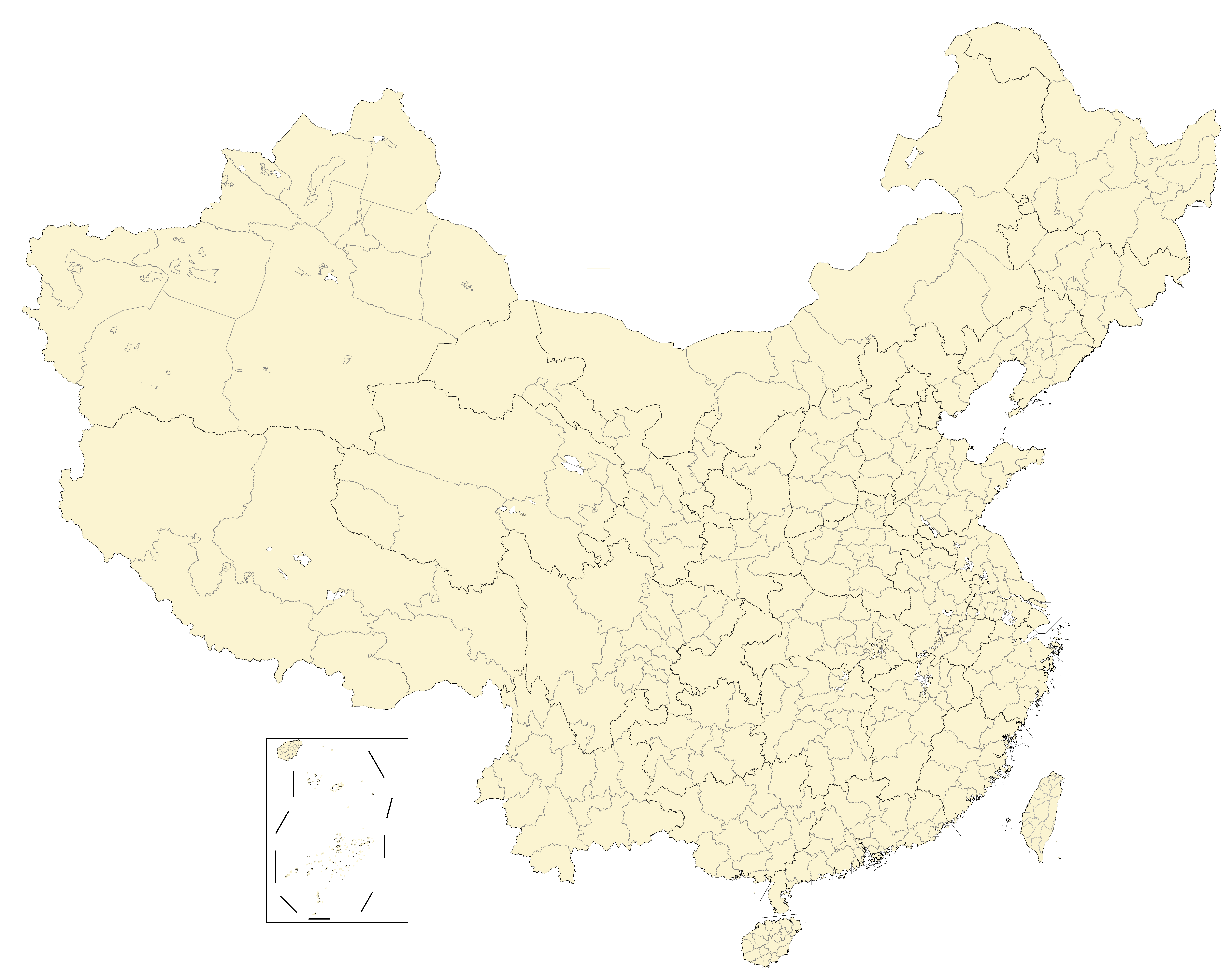
English: Blank map of China, shows prefecture-level divisions.
日本語: 中国の白地図は、県レベルの区分を示しています。
Русский: Пустая карта Китая с делениями на уровне префектур.
Монгол: Хятадын хоосон газрын зураг нь мужийн түвшний хуваагдлыг харуулж байна.
中文(简体):中国空白地图,显示地级划分。(包含未實際控制之疆域)
中文(繁體):中國空白地圖,顯示地級劃分。 (包含未實際控制之疆域) |
||
| Date |
|
||
| Source |
This file was derived from: China prefectural-level divisions and administrative divisions (PRoC claim).png by AichiWikiFixer
|
||
| Author |
|
||
| Permission (Reusing this file) |
Map of China, administrative divisions: I, the copyright holder of this work, hereby publish it under the following license:
|


.png)
Licensing
edit
I, the copyright holder of this work, hereby publish it under the following license:
This file is licensed under the Creative Commons Attribution-Share Alike 4.0 International license.
- You are free:
- to share – to copy, distribute and transmit the work
- to remix – to adapt the work
- Under the following conditions:
- attribution – You must give appropriate credit, provide a link to the license, and indicate if changes were made. You may do so in any reasonable manner, but not in any way that suggests the licensor endorses you or your use.
- share alike – If you remix, transform, or build upon the material, you must distribute your contributions under the same or compatible license as the original.
File history
Click on a date/time to view the file as it appeared at that time.
| Date/Time | Thumbnail | Dimensions | User | Comment | |
|---|---|---|---|---|---|
| current | 08:26, 28 January 2022 | | 6,246 × 4,937 (371 KB) | Maanshen (talk | contribs) | Fix Changchun-Siping border |
| 00:09, 28 January 2022 |  | 6,246 × 4,937 (371 KB) | Maanshen (talk | contribs) | Add parts of Tiemenguan | |
| 02:26, 16 January 2022 |  | 6,246 × 4,937 (370 KB) | Maanshen (talk | contribs) | Minor changes | |
| 00:24, 8 January 2022 |  | 6,246 × 4,937 (366 KB) | Maanshen (talk | contribs) | Added Sansha prefecture-level city shown | |
| 00:42, 7 January 2022 |  | 6,246 × 4,937 (355 KB) | Maanshen (talk | contribs) | Additional lakes in the Tibet Autonomous Region and minor changes | |
| 00:18, 5 January 2022 |  | 6,246 × 4,937 (353 KB) | Maanshen (talk | contribs) | Yangzhou-Yancheng-Nantong and Heihe-Daxing'anling border changes | |
| 03:43, 4 January 2022 |  | 6,246 × 4,937 (357 KB) | Maanshen (talk | contribs) | Update new version as of File:China prefectural-level divisions and administrative divisions (PRoC claim).png | |
| 21:12, 22 December 2021 |  | 6,246 × 4,937 (348 KB) | Maanshen (talk | contribs) | Minor change | |
| 04:24, 7 November 2021 |  | 6,246 × 4,937 (346 KB) | Not logging in (talk | contribs) | Fix color | |
| 04:22, 7 November 2021 |  | 6,246 × 4,937 (345 KB) | Not logging in (talk | contribs) | New map |
You cannot overwrite this file.
File usage on Commons
There are no pages that use this file.