File:Chinklacamoose historical marker.jpg
Size of this preview: 800 × 532 pixels. Other resolutions: 320 × 213 pixels | 640 × 426 pixels | 1,024 × 681 pixels | 1,280 × 851 pixels | 2,560 × 1,702 pixels | 6,016 × 4,000 pixels.
Original file (6,016 × 4,000 pixels, file size: 6.95 MB, MIME type: image/jpeg)
Captions
Captions
Add a one-line explanation of what this file represents
| Camera location | | View this and other nearby images on: OpenStreetMap |
|---|
| Description |
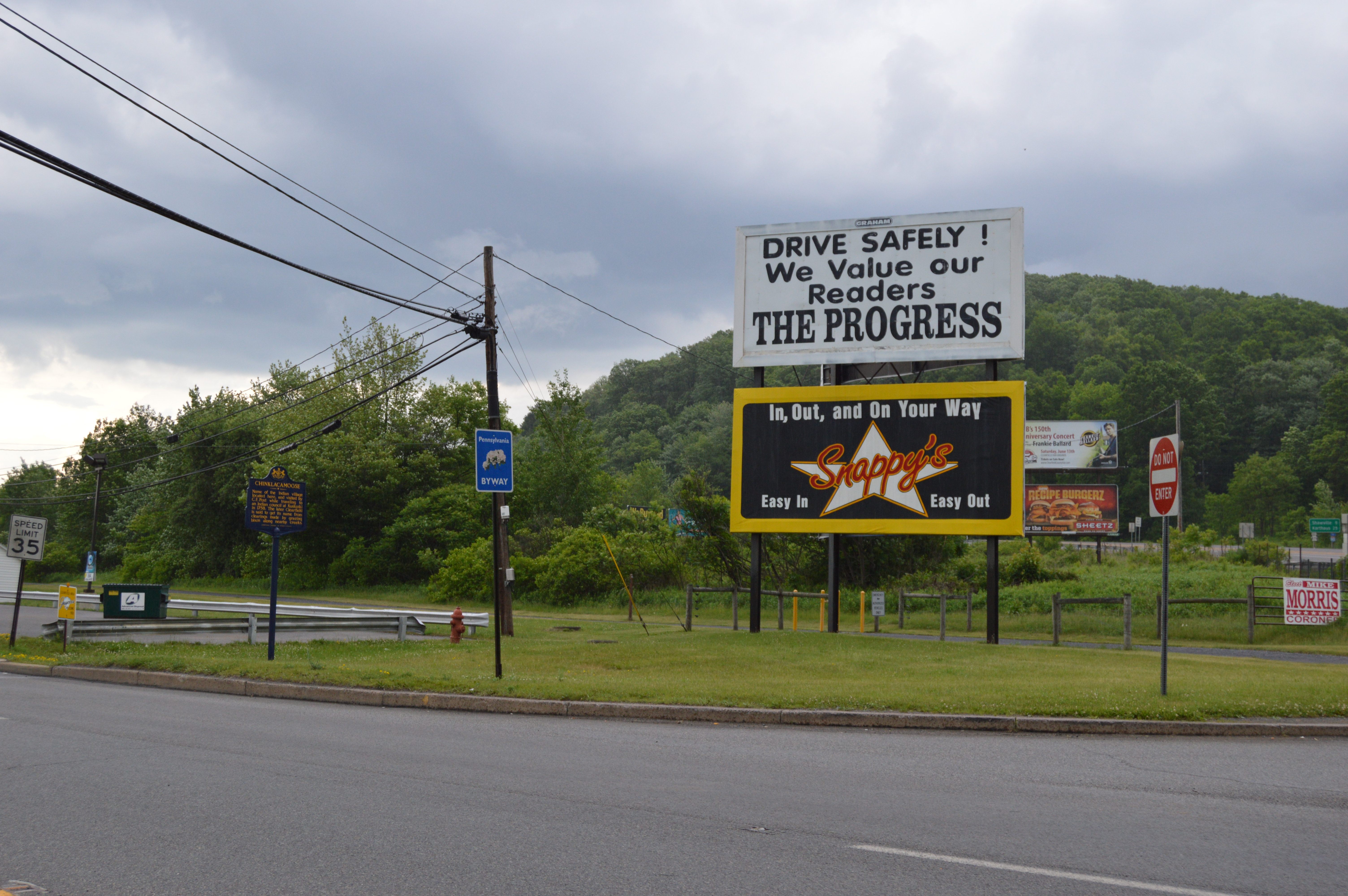
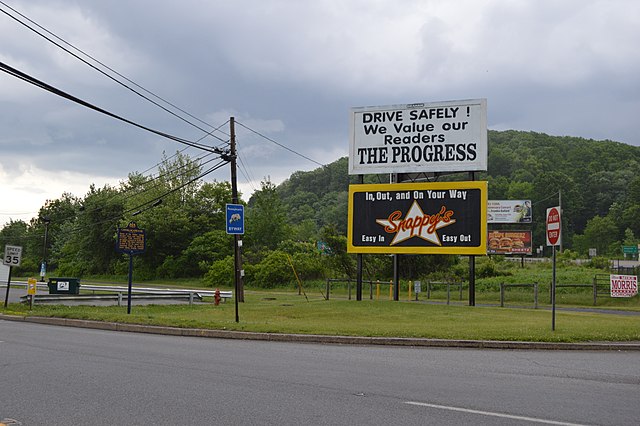
English: Historical marker for the site of the Indian village of Chinklacamoose, located at the junction of Second Street with Pennsylvania Route 879 just southwest of Clearfield in Lawrence Township, Clearfield County, Pennsylvania, United States. The bicycle trail to Grampian can be seen in the background. |
||
| Date | Taken on 5 June 2015 | ||
| Source | Own work | ||
| Author | Nyttend | ||
| Permission (Reusing this file) |
|
File history
Click on a date/time to view the file as it appeared at that time.
| Date/Time | Thumbnail | Dimensions | User | Comment | |
|---|---|---|---|---|---|
| current | 02:40, 15 June 2015 | | 6,016 × 4,000 (6.95 MB) | Nyttend (talk | contribs) | {{Location|41|0|16|N|78|27|23|W}} {{Information |Description={{en|Historical marker for the site of the Indian village of {{w|Chinklacamoose}}, located at the junction of Second Street with {{w|Pennsylvania Route 879}} just southwest of {{w|Clearfield,... |
You cannot overwrite this file.
File usage on Commons
There are no pages that use this file.
File usage on other wikis
The following other wikis use this file:
- Usage on en.wikipedia.org