File:Chippewa National Forest - Social - 2.jpg
Size of this preview: 800 × 533 pixels. Other resolutions: 320 × 213 pixels | 640 × 427 pixels | 1,024 × 683 pixels | 1,280 × 853 pixels | 2,048 × 1,365 pixels.
Original file (2,048 × 1,365 pixels, file size: 559 KB, MIME type: image/jpeg)
Captions
Captions
Add a one-line explanation of what this file represents
Summary
edit
| Description |
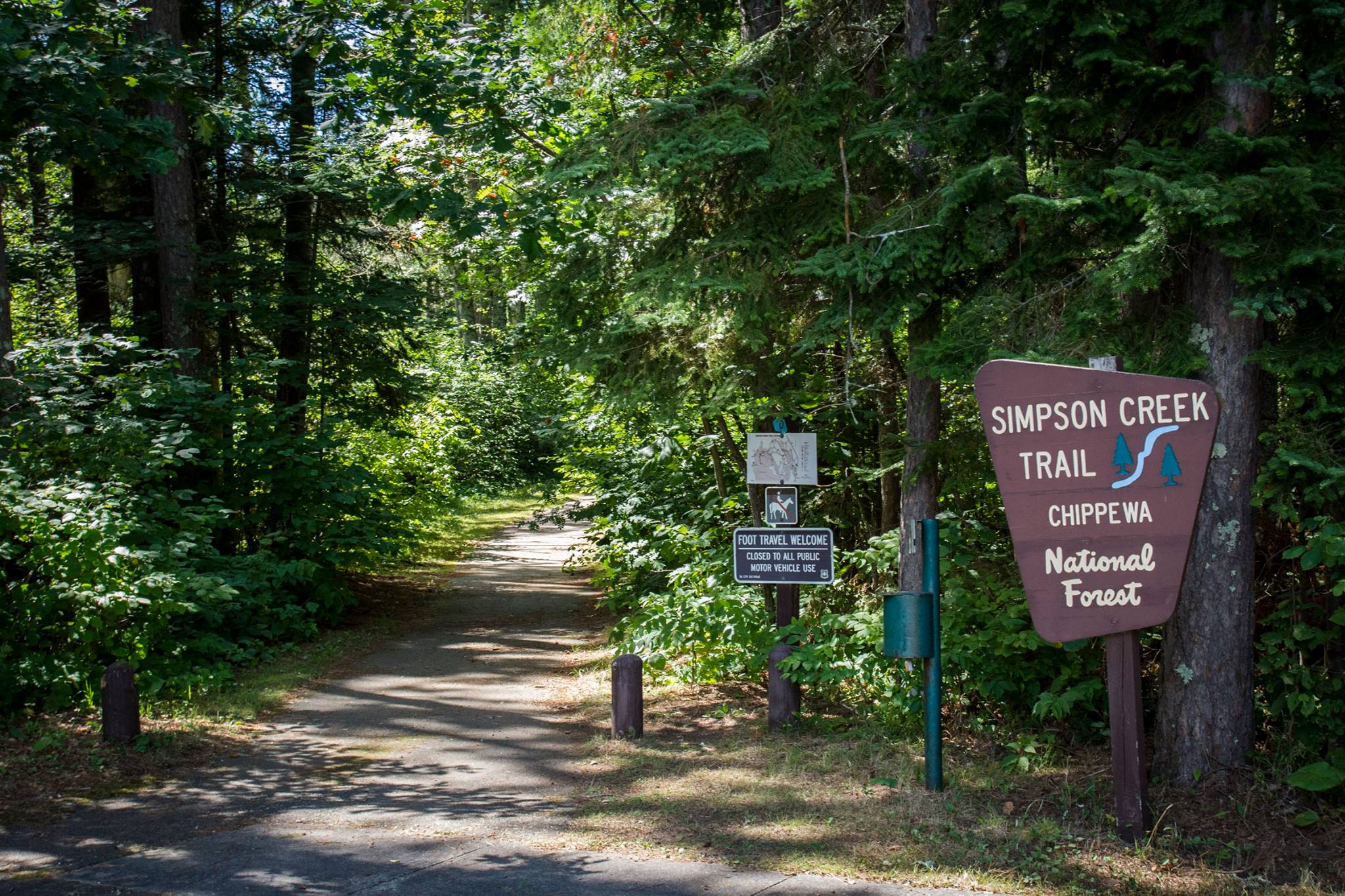
English: The Simpson Creek Trail system winds through towering pines, around a great walleye fishing lake, and into the rich history of the Cut Foot Sioux area. Simpson Creek is located on State Highway 46, about 17 miles northwest of Deer River, Minnesota. Access onto the trail can be gained at the Cut Foot Sioux Visitor Center off Highway 46; and off Eagle Nest Road (FR 2198), approximately 1/2 mile from crossing the bridge on that road; and near East Seelye Point. |
| Date | |
| Source | https://www.facebook.com/ChippewaNF/photos/a.670934996336374.1073741828.670927213003819/1384973181599215/?type=3&theater |
| Author |
Chippewa National Forest U.S. Forest Service |
Licensing
edit
This image is a work of the Forest Service of the United States Department of Agriculture. As a work of the U.S. federal government, the image is in the public domain.
|
File history
Click on a date/time to view the file as it appeared at that time.
| Date/Time | Thumbnail | Dimensions | User | Comment | |
|---|---|---|---|---|---|
| current | 06:23, 10 September 2017 | | 2,048 × 1,365 (559 KB) | Missvain (talk | contribs) | User created page with UploadWizard |
You cannot overwrite this file.
File usage on Commons
There are no pages that use this file.
File usage on other wikis
The following other wikis use this file:
- Usage on en.wikipedia.org
- Usage on it.wikipedia.org
- Usage on ml.wikipedia.org
- Usage on ru.wikipedia.org