File:Ciurlionio-kapas.jpg

Size of this preview: 399 × 600 pixels. Other resolutions: 159 × 240 pixels | 532 × 800 pixels.
Original file (532 × 800 pixels, file size: 157 KB, MIME type: image/jpeg)
Captions
Captions
Add a one-line explanation of what this file represents
Summary edit
| Camera location | | View this and other nearby images on: OpenStreetMap |
|---|
| Description |
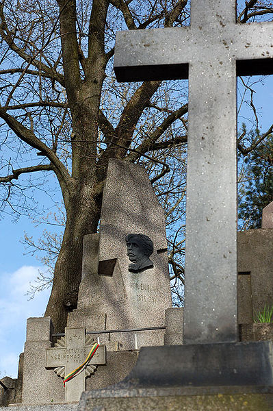
English: Tomb of Mikalojus Konstantinas Čiurlionis.
Lietuvių: Mykalojaus Konstantino Čiurlionio kapas. |
| Date | |
| Source | Own work |
| Author | Kontis Šatūnas |
Licensing edit
| I, the copyright holder of this work, release this work into the public domain. This applies worldwide. In some countries this may not be legally possible; if so: I grant anyone the right to use this work for any purpose, without any conditions, unless such conditions are required by law. |
File history
Click on a date/time to view the file as it appeared at that time.
| Date/Time | Thumbnail | Dimensions | User | Comment | |
|---|---|---|---|---|---|
| current | 18:51, 1 February 2008 | | 532 × 800 (157 KB) | Kontis (talk | contribs) | {{Information |Description= {{en|View from ''the Dutchman's hat'' (Olando Kepure) - the highest scarp on the Lithuanian seaside}} {{lt|Vaizdas nuo ''Olando kepurės'' parabolinės kopos}} |Source=Own work |Date=2007.04.18 |Author=[http://w |
You cannot overwrite this file.
File usage on Commons
The following page uses this file:
File usage on other wikis
The following other wikis use this file:
- Usage on be-tarask.wikipedia.org
- Usage on cs.wikipedia.org
- Usage on lt.wikipedia.org
- Usage on ru.wikipedia.org