File:Closed border between Hrčava and Čierne during COVID-19 pandemic.jpg

Size of this preview: 800 × 600 pixels. Other resolutions: 320 × 240 pixels | 640 × 480 pixels | 1,024 × 768 pixels | 1,280 × 960 pixels | 2,560 × 1,920 pixels | 4,160 × 3,120 pixels.
Original file (4,160 × 3,120 pixels, file size: 3.2 MB, MIME type: image/jpeg)
Captions
Captions
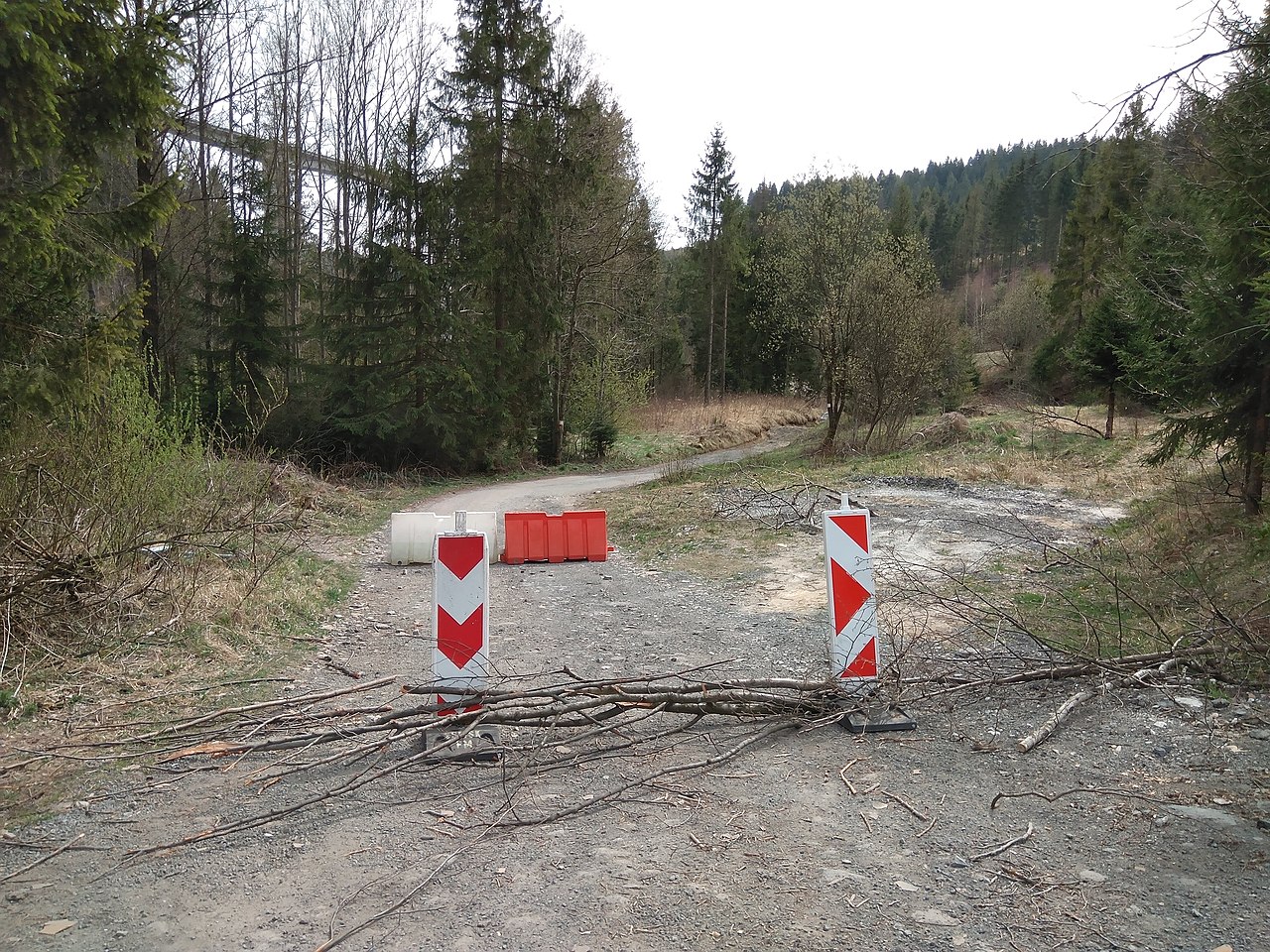
Closed Czech-Slovak border near Hrčava during COVID-19 pandemic
Summary
edit
| Description |
Čeština: Uzavřená česko-slovenská hranice u Hrčavy během pandemie COVID-19
Ślůnski: Zawartŏ czesko-słowiockŏ granica kole Hyrczawy za pandymije COVID-19
Slovenčina: Uzavretá česko-slovenská hranica pri Hrčave počas pandémie COVID-19
Polski: Zamknięta granica czesko-słowacka koło Herczawy w trakcie pandemii COVID-19
Deutsch: Geschlossene tschechisch-slowakische Grenze bei Hertschawa während der COVID-19-Pandemie
English: Closed Czech-Slovak border near Hrčava during COVID-19 pandemic |
| Date | |
| Source | Own work |
| Author | Kamil Czainski |
| Permission (Reusing this file) |
I, the copyright holder of this work, hereby publish it under the following license: This file is licensed under the Creative Commons Attribution-Share Alike 4.0 International license.
|
| Camera location | | View this and other nearby images on: OpenStreetMap |
|---|
File history
Click on a date/time to view the file as it appeared at that time.
| Date/Time | Thumbnail | Dimensions | User | Comment | |
|---|---|---|---|---|---|
| current | 13:29, 27 April 2020 | | 4,160 × 3,120 (3.2 MB) | Gaj777 (talk | contribs) | Uploaded own work with UploadWizard |
You cannot overwrite this file.
File usage on Commons
There are no pages that use this file.