File:Closer view looking north-northwest (generally) - National Park Seminary, Chateau Causeways, Between Linden Lane and Beach Drive, Silver Spring, Montgomery County, MD HABS MD,16-SILSPR,2W-20.tif
Size of this JPG preview of this TIF file: 432 × 599 pixels. Other resolutions: 173 × 240 pixels | 346 × 480 pixels | 554 × 768 pixels | 738 × 1,024 pixels | 1,477 × 2,048 pixels | 3,856 × 5,347 pixels.
Original file (3,856 × 5,347 pixels, file size: 19.67 MB, MIME type: image/tiff)
Captions
Captions
Add a one-line explanation of what this file represents
Summary edit
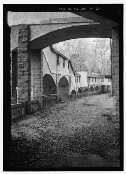
| Closer view looking north-northwest (generally) - National Park Seminary, Chateau Causeways, Between Linden Lane and Beach Drive, Silver Spring, Montgomery County, MD | ||||
|---|---|---|---|---|
| Photographer |
Boucher, Jack E. |
|||
| Title |
Closer view looking north-northwest (generally) - National Park Seminary, Chateau Causeways, Between Linden Lane and Beach Drive, Silver Spring, Montgomery County, MD |
|||
| Description |
Ament, James E; Price, Virginia B, transmitter; Ott, Cynthia, historian; Boucher, Jack E, photographer; Price, Virginia B, transmitter; Lavoie, Catherine C, project manager; Price, Virginia B, transmitter; Lavoie, Catherine C, project manager; Price, Virginia B, transmitter |
|||
| Depicted place | Maryland; Montgomery County; Silver Spring | |||
| Date | Documentation compiled after 1933; 2001 | |||
| Dimensions | 5 x 7 in. | |||
| Current location |
Library of Congress Prints and Photographs Division Washington, D.C. 20540 USA http://hdl.loc.gov/loc.pnp/pp.print |
|||
| Accession number |
HABS MD,16-SILSPR,2W-20 |
|||
| Credit line |
|
|||
| Notes |
|
|||
| Source | https://www.loc.gov/pictures/item/md1526.photos.217005p | |||
| Permission (Reusing this file) |
|
|||

| Object location | | View this and other nearby images on: OpenStreetMap |
|---|
File history
Click on a date/time to view the file as it appeared at that time.
| Date/Time | Thumbnail | Dimensions | User | Comment | |
|---|---|---|---|---|---|
| current | 21:27, 28 July 2014 |  | 3,856 × 5,347 (19.67 MB) | Fæ (talk | contribs) | GWToolset: Creating mediafile for Fæ. HABS 21 July 2014 (1601:1800) |
You cannot overwrite this file.
File usage on Commons
The following page uses this file: