File:Colombia Guaviare location map.svg

Size of this PNG preview of this SVG file: 800 × 504 pixels. Other resolutions: 320 × 202 pixels | 640 × 403 pixels | 1,024 × 645 pixels | 1,280 × 806 pixels | 2,560 × 1,613 pixels | 2,273 × 1,432 pixels.
Original file (SVG file, nominally 2,273 × 1,432 pixels, file size: 192 KB)
Captions
Captions
Add a one-line explanation of what this file represents
Summary
edit| Description |
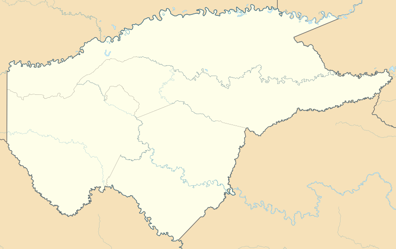
English: Location map of Guaviare
Equirectangular projection. Geographic limits of the map:
Español: Mapa localizador de Guaviare |
| Date | |
| Source | Own work |
| Author | Milenioscuro |
| Other versions |
|

.svg)
.svg)
.svg)
.svg)
.svg)
.svg)
.svg)
Licensing
edit
I, the copyright holder of this work, hereby publish it under the following license:
This file is licensed under the Creative Commons Attribution-Share Alike 3.0 Unported license.
- You are free:
- to share – to copy, distribute and transmit the work
- to remix – to adapt the work
- Under the following conditions:
- attribution – You must give appropriate credit, provide a link to the license, and indicate if changes were made. You may do so in any reasonable manner, but not in any way that suggests the licensor endorses you or your use.
- share alike – If you remix, transform, or build upon the material, you must distribute your contributions under the same or compatible license as the original.
File history
Click on a date/time to view the file as it appeared at that time.
| Date/Time | Thumbnail | Dimensions | User | Comment | |
|---|---|---|---|---|---|
| current | 13:25, 24 July 2015 | | 2,273 × 1,432 (192 KB) | Milenioscuro (talk | contribs) | corrijo fronteras, curso de ríos, etc |
| 00:44, 18 February 2012 |  | 1,124 × 709 (289 KB) | Milenioscuro (talk | contribs) | {{Information |Description ={{en|1=Mapa localizador de Guaviare}}}} |Source ={{own}} |Author =Shadowxfox |Date =2012-02-17 |Permission = |other_versions = }} [[Cat |
You cannot overwrite this file.
File usage on Commons
The following 2 pages use this file:
File usage on other wikis
The following other wikis use this file:
- Usage on bg.wikipedia.org
- Usage on de.wikipedia.org
- Usage on en.wikipedia.org
- Usage on es.wikipedia.org
- Usage on fa.wikipedia.org
- Usage on fr.wikipedia.org
- Usage on he.wikipedia.org
- Usage on hu.wikipedia.org
- Usage on kbd.wikipedia.org
- Usage on pl.wikipedia.org
- Usage on pl.wikibooks.org
- Usage on ru.wikipedia.org
- Usage on si.wikipedia.org
- Usage on uz.wikipedia.org