File:Colonial Parkway at Colonial National Historical Park, Virginia (dde131e3-1bfe-4a8d-bd92-b777d1cdf75a).jpg
Size of this preview: 800 × 533 pixels. Other resolutions: 320 × 213 pixels | 640 × 427 pixels | 1,024 × 683 pixels | 1,280 × 853 pixels | 2,560 × 1,707 pixels | 3,072 × 2,048 pixels.
Original file (3,072 × 2,048 pixels, file size: 608 KB, MIME type: image/jpeg)
Captions
Captions
Add a one-line explanation of what this file represents
| Camera location | | View this and other nearby images on: OpenStreetMap |
|---|
.jpg¶ms=037.270649_N_-076.707512_E_globe:Earth_type:camera_alt:0_source:exif_&language=en)

|
The categories of this image need checking. You can do so here.
|
.jpg&action=edit&withJS=MediaWiki:Catcheck.js)
Summary
edit.jpg&action=edit§ion=1)
| English: Colonial Parkway at Colonial National Historical Park, Virginia | ||||
|---|---|---|---|---|
| Photographer |
English: NPS staff |
|||
| Title |
English: Colonial Parkway at Colonial National Historical Park, Virginia |
|||
| Publisher |
English: National Park Service |
|||
| Description |
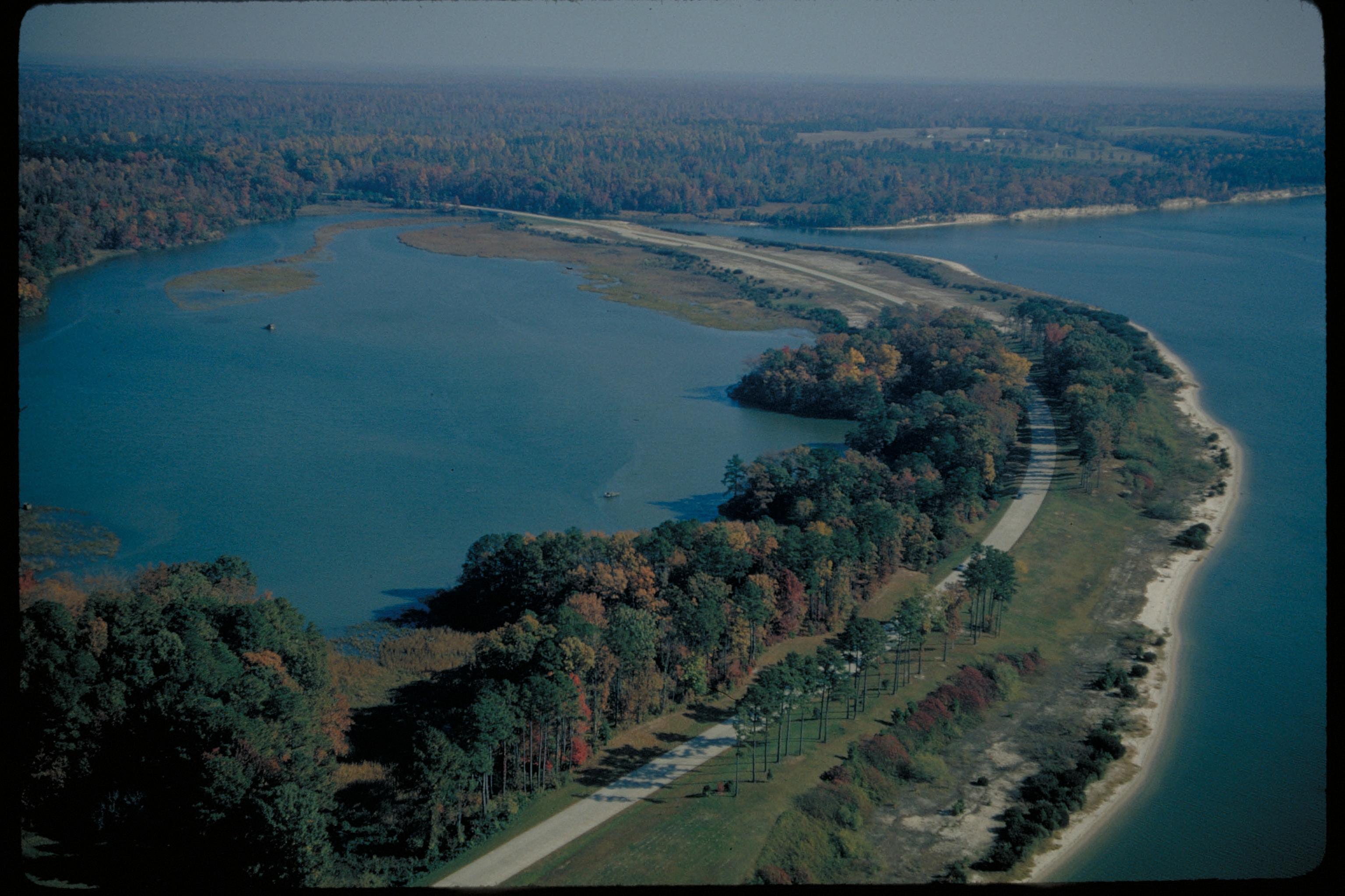
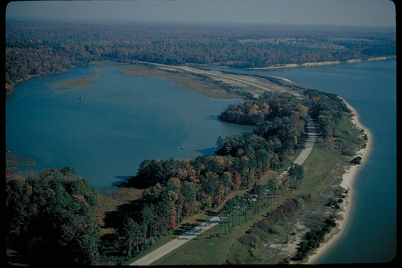
English: Parkway over Jamestown Island isthmus Situated on the Virginia Peninsula, Jamestown and Yorktown Battlefield are connected by the 23 mile scenic Colonial Parkway.
|
|||
| Depicted place |
English: Colonial Parkway, Virginia |
|||
| Accession number | ||||
| Source |
English: NPGallery |
|||
| Permission (Reusing this file) |
|
|||
| Sponsor | English: Colonial National Historical Park |
|||
| NPS Unit Code | COLO, COLP | |||
| Legacy NPS Focus Record ID | 231499 | |||
File history
Click on a date/time to view the file as it appeared at that time.
| Date/Time | Thumbnail | Dimensions | User | Comment | |
|---|---|---|---|---|---|
| current | 18:14, 4 July 2019 | | 3,072 × 2,048 (608 KB) | BMacZeroBot (talk | contribs) | Batch upload (Commons:Batch uploading/NPGallery) |
You cannot overwrite this file.
File usage on Commons
The following page uses this file:
.jpg)
.jpg&oldid=865143093)