File:Colorado counties until November 15, 2001.svg

Size of this PNG preview of this SVG file: 800 × 579 pixels. Other resolutions: 320 × 232 pixels | 640 × 463 pixels | 1,024 × 741 pixels | 1,280 × 926 pixels | 2,560 × 1,852 pixels | 3,117 × 2,255 pixels.
Original file (SVG file, nominally 3,117 × 2,255 pixels, file size: 111 KB)
Captions
Captions
Add a one-line explanation of what this file represents
Summary edit
| Description |
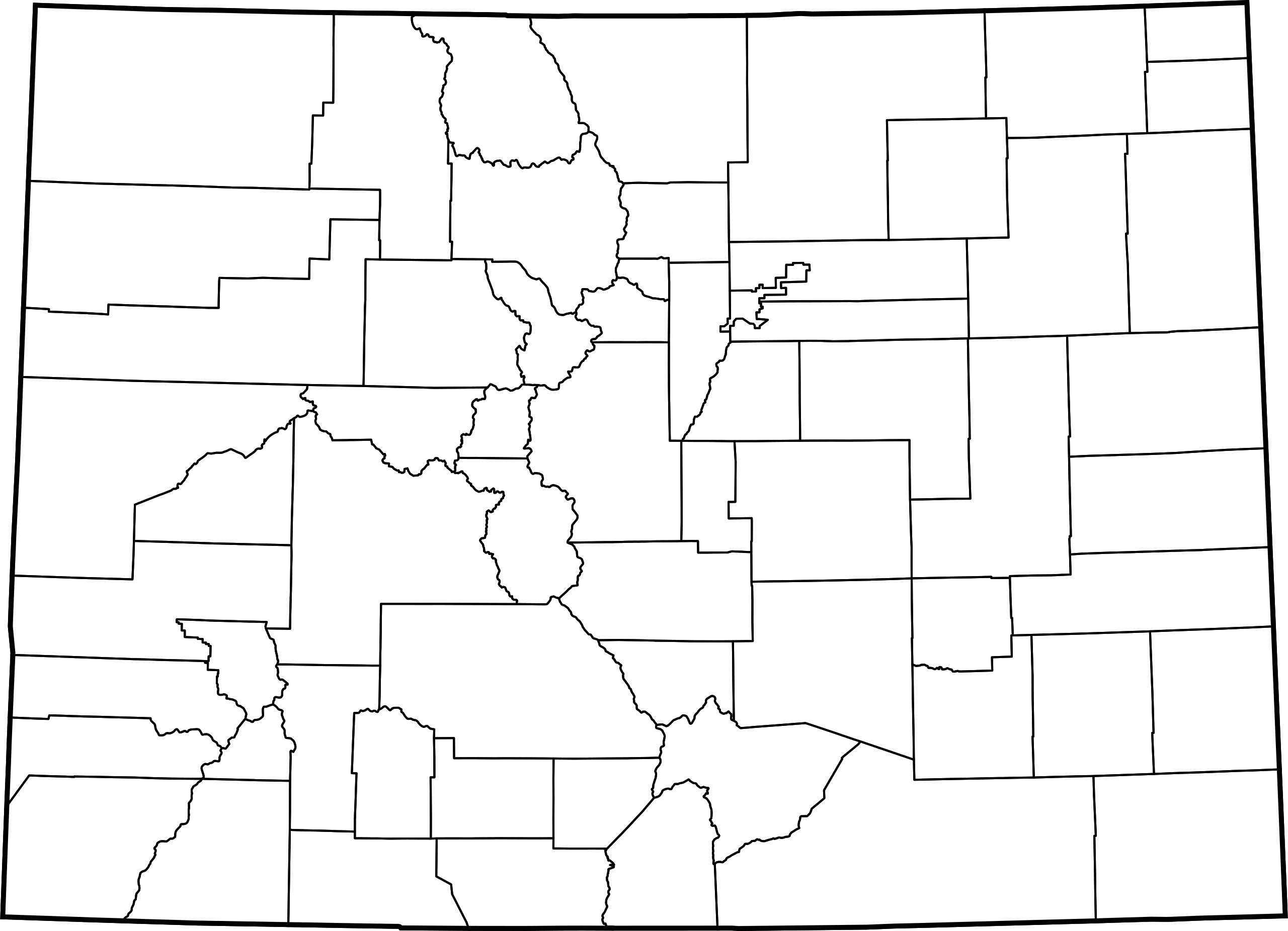
This is a map of Colorado counties as they appeared until November 15, 2001, when Broomfield County was created from portions of Adams, Boulder, Jefferson and Weld counties. This map uses azimuthal equidistant projection, centered on (−105.7167, 39.1333) (degrees latitude, longitude). The area outside Colorado is transparent, so it should look nice on non-white backgrounds. The data I used is apparently accurate to 0.000278 degrees, or about 100 feet. The coordinates in this map are in decameters. This map is probably not eligible for copyright. Just in case, I release my own contributions to the public domain. |
| Date | |
| Source | Own work using: nationalatlas.gov County Boundaries, 2000 data set, specifically co2000p020.tar.gz. I used shpdump to extract the Shapefile. See the talk page for more details. |
| Author | David Benbennick |
| SVG development | This W3C-invalid locator map was created with an unknown SVG tool. |
Licensing edit
| I, the copyright holder of this work, release this work into the public domain. This applies worldwide. In some countries this may not be legally possible; if so: I grant anyone the right to use this work for any purpose, without any conditions, unless such conditions are required by law. |
File history
Click on a date/time to view the file as it appeared at that time.
| Date/Time | Thumbnail | Dimensions | User | Comment | |
|---|---|---|---|---|---|
| current | 22:57, 5 April 2007 | | 3,117 × 2,255 (111 KB) | Augiasstallputzer~commonswiki (talk | contribs) | Setting a srceencompatible size. To print, please download the image and edit the size values in real measures (metric or inch). |
You cannot overwrite this file.
File usage on Commons
The following page uses this file: