File:Colored map of Africa.png
No higher resolution available.
Colored_map_of_Africa.png (585 × 600 pixels, file size: 61 KB, MIME type: image/png)
Captions
Captions
Add a one-line explanation of what this file represents
Summary
edit
| Description |
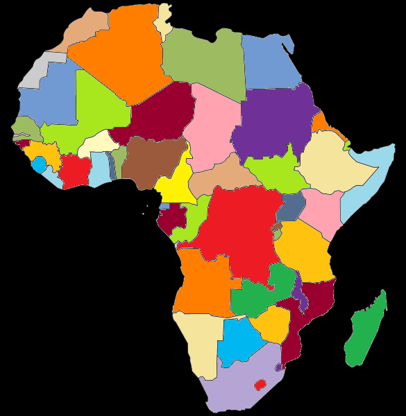
English: Colored map of Africa, based on this map
Български: Оцветена карта на Африка |
| Date | |
| Source | Own work |
| Author | Tourbillon |
Licensing
edit
| I, the copyright holder of this work, release this work into the public domain. This applies worldwide. In some countries this may not be legally possible; if so: I grant anyone the right to use this work for any purpose, without any conditions, unless such conditions are required by law. |
File history
Click on a date/time to view the file as it appeared at that time.
| Date/Time | Thumbnail | Dimensions | User | Comment | |
|---|---|---|---|---|---|
| current | 13:59, 2 April 2018 | | 585 × 600 (61 KB) | Maphobbyist (talk | contribs) | South Sudan border |
| 13:25, 27 June 2008 |  | 585 × 600 (54 KB) | Tourbillon (talk | contribs) | {{Information |Description={{en|1=Colored map of Africa, based on this map}} {{bg|1=Оцветена карта на Африка}} |Source=Собствена творба (Own work of the uploader) |Author=[[User:Tourbillo |
You cannot overwrite this file.
File usage on Commons
There are no pages that use this file.