File:Columbus-Marion-Zanesville CSA.png
No higher resolution available.
Columbus-Marion-Zanesville_CSA.png (450 × 450 pixels, file size: 13 KB, MIME type: image/png)
Captions
Captions
Add a one-line explanation of what this file represents
Summary
edit
| Description |
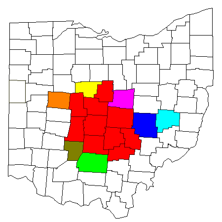
Map of Columbus-Marion-Zanesville, OH Combined Statistical Area (CSA):
|
| Date | |
| Source | Modified from this United States Census Bureau file, based on this Census definitions list. |
| Author | Yassie |
| Permission (Reusing this file) |
US Government work is public domain. I hereby publish this image into public domain too. |
Licensing
edit
| I, the copyright holder of this work, release this work into the public domain. This applies worldwide. In some countries this may not be legally possible; if so: I grant anyone the right to use this work for any purpose, without any conditions, unless such conditions are required by law. |
File history
Click on a date/time to view the file as it appeared at that time.
| Date/Time | Thumbnail | Dimensions | User | Comment | |
|---|---|---|---|---|---|
| current | 15:51, 11 November 2015 | | 450 × 450 (13 KB) | Yassie (talk | contribs) | {{Information {{Information |Description= Map of Columbus-Marion-Zanesville, OH Combined Statistical Area (CSA): * Red: Columbus, OH MSA * Yellow: Marion County, Ohio (Marion, OH µSA) * Blue: Muskingum County, Ohio (Zanesville, OH µSA) * Light Green:... |
You cannot overwrite this file.
File usage on Commons
The following page uses this file:
File usage on other wikis
The following other wikis use this file:
- Usage on es.wikipedia.org
- Usage on fa.wikipedia.org
- Usage on it.wikivoyage.org
- Usage on uk.wikipedia.org
- Usage on ur.wikipedia.org
- Usage on www.wikidata.org