File:Confini della Basilicata.png
Size of this preview: 722 × 600 pixels. Other resolutions: 289 × 240 pixels | 578 × 480 pixels | 934 × 776 pixels.
Original file (934 × 776 pixels, file size: 1.3 MB, MIME type: image/png)
Captions
Captions
Add a one-line explanation of what this file represents
Summary
edit
| Description |
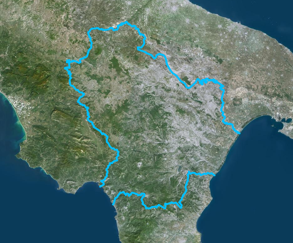
Italiano: Confini della Basilicata - Mappa di Institut géographique national |
| Date | |
| Source | https://www.geoportail.gouv.fr/donnees/photographies-aeriennes |
| Author | Institut National de l'information geographique et forestiere |
Licensing
edit
| This file is licensed under the Licence Ouverte 1.0 (License text, English license text).
|
File history
Click on a date/time to view the file as it appeared at that time.
| Date/Time | Thumbnail | Dimensions | User | Comment | |
|---|---|---|---|---|---|
| current | 13:54, 13 July 2020 | | 934 × 776 (1.3 MB) | Sayatek (talk | contribs) | Uploaded a work by Institut National de l'information geographique et forestiere from https://www.geoportail.gouv.fr/donnees/photographies-aeriennes with UploadWizard |
You cannot overwrite this file.
File usage on Commons
The following 18 pages use this file:
- File:Confini della Basilicata-var.png
- Category:Abbeys in Basilicata
- Category:Archaeological sites in Basilicata
- Category:Basilicata
- Category:Births in Basilicata
- Category:Bridges in Basilicata
- Category:Cathedrals in Basilicata
- Category:Deaths in Basilicata
- Category:Economy of Basilicata
- Category:Former railway lines in Basilicata
- Category:Hospitals in Basilicata
- Category:Maps of Basilicata
- Category:People of Basilicata
- Category:Populated places in Basilicata
- Category:Provinces of Basilicata
- Category:Rail transport in Basilicata
- Category:Railway lines in Basilicata
- Category:Views of Basilicata
File usage on other wikis
The following other wikis use this file:
- Usage on ar.wikipedia.org
- Usage on ast.wikipedia.org
- Usage on az.wikipedia.org
- Usage on be.wikipedia.org
- Usage on ca.wikipedia.org
- Usage on cs.wikipedia.org
- Usage on cy.wikipedia.org
- Usage on de.wikivoyage.org
- Usage on diq.wikipedia.org
- Usage on fr.wikivoyage.org
- Usage on ga.wikipedia.org
- Usage on gd.wikipedia.org
- Usage on gl.wikipedia.org
- Usage on he.wikipedia.org
- Usage on hy.wikipedia.org
- Usage on ia.wikipedia.org
- Usage on id.wikipedia.org
- Usage on ilo.wikipedia.org
- Usage on it.wikipedia.org
- Usage on ka.wikipedia.org
- Usage on ku.wikipedia.org
- Usage on lld.wikipedia.org
- Usage on lmo.wikipedia.org
- Usage on mzn.wikipedia.org
- Usage on nn.wikipedia.org
- Usage on no.wikipedia.org
- Usage on oc.wikipedia.org
- Usage on pl.wikipedia.org
- Usage on ps.wikipedia.org
- Usage on pt.wikipedia.org
- Usage on ro.wikipedia.org
- Usage on ru.wikipedia.org
- Usage on sl.wikipedia.org
- Usage on sr.wikipedia.org
- Usage on tg.wikipedia.org
- Usage on tl.wikipedia.org
- Usage on tt.wikipedia.org
- Usage on vec.wikipedia.org
- Usage on vi.wikipedia.org
- Usage on www.wikidata.org