File:Conseillers généraux Haute-Vienne 2011.png
Size of this preview: 613 × 600 pixels. Other resolutions: 245 × 240 pixels | 491 × 480 pixels | 648 × 634 pixels.
Original file (648 × 634 pixels, file size: 140 KB, MIME type: image/png)
Captions
Captions
Add a one-line explanation of what this file represents
Summary edit
| Description |
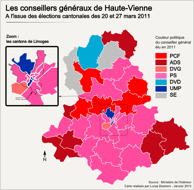
Français : Carte des cantons de la Haute-Vienne après les élections cantonales de 2011 |
| Date | |
| Source | Own work |
| Author | Babsy |
Licensing edit
I, the copyright holder of this work, hereby publish it under the following licenses:

|
Permission is granted to copy, distribute and/or modify this document under the terms of the GNU Free Documentation License, Version 1.2 or any later version published by the Free Software Foundation; with no Invariant Sections, no Front-Cover Texts, and no Back-Cover Texts. A copy of the license is included in the section entitled GNU Free Documentation License. |
This file is licensed under the Creative Commons Attribution 3.0 Unported license.
- You are free:
- to share – to copy, distribute and transmit the work
- to remix – to adapt the work
- Under the following conditions:
- attribution – You must give appropriate credit, provide a link to the license, and indicate if changes were made. You may do so in any reasonable manner, but not in any way that suggests the licensor endorses you or your use.
You may select the license of your choice.
File history
Click on a date/time to view the file as it appeared at that time.
| Date/Time | Thumbnail | Dimensions | User | Comment | |
|---|---|---|---|---|---|
| current | 18:39, 11 January 2013 | | 648 × 634 (140 KB) | Babsy (talk | contribs) | - Ajout d'un encart de zoom sur les cantons de Limoges - Correction sur le canton de Laurière (PCF et non ADS) - Nouveau graphisme |
| 19:08, 28 November 2011 |  | 606 × 518 (65 KB) | Babsy (talk | contribs) | Limites géographiques plus justes | |
| 18:57, 28 November 2011 |  | 606 × 518 (65 KB) | Babsy (talk | contribs) | Meilleur rendu, redéfinition géographique des limites plus juste. | |
| 16:38, 28 March 2011 |  | 587 × 514 (66 KB) | Babsy (talk | contribs) | {{Information |Description ={{fr|1=Carte des cantons de la Haute-Vienne après les élections cantonales de 2011}} |Source ={{own}} |Author =Babsy |Date =28 mars 2011 |Permission = |other_versions = }} [[Ca |
You cannot overwrite this file.
File usage on Commons
There are no pages that use this file.
File usage on other wikis
The following other wikis use this file: