File:Construction of a connecting corridor progress (4496375978).jpg
Size of this preview: 800 × 600 pixels. Other resolutions: 320 × 240 pixels | 640 × 480 pixels | 1,024 × 768 pixels.
Original file (1,024 × 768 pixels, file size: 250 KB, MIME type: image/jpeg)
Captions
Captions
Add a one-line explanation of what this file represents
Summary
edit.jpg&action=edit§ion=1)
| Description | photos: USAID |
| Date | |
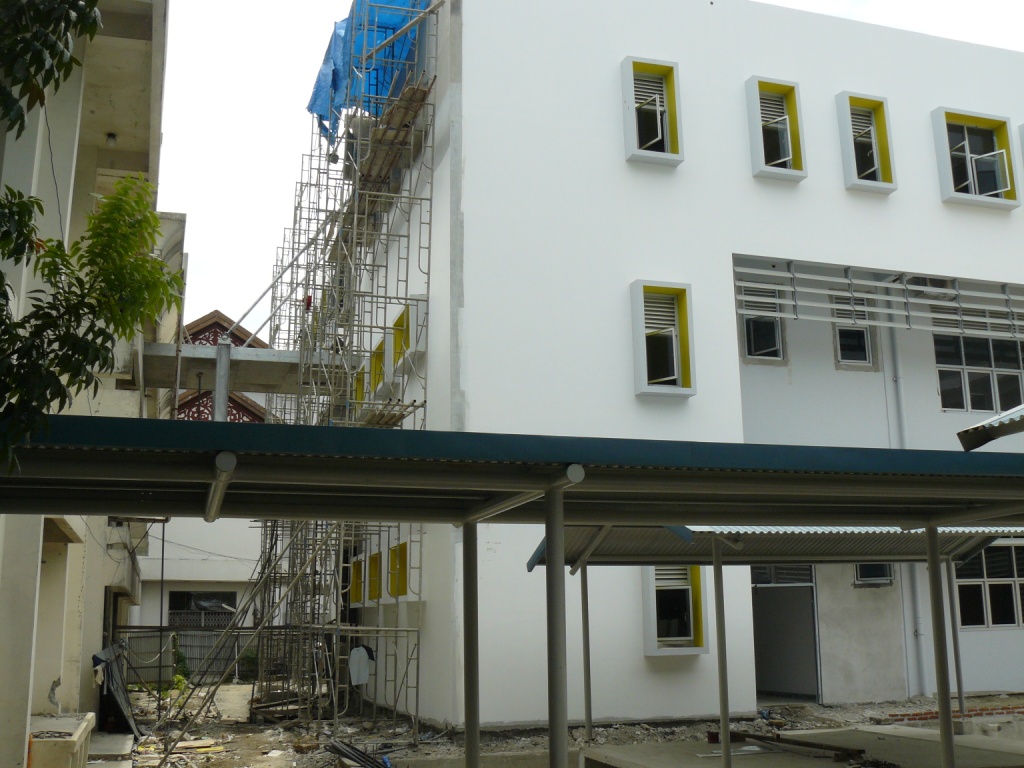
| Source | Construction of a connecting corridor progress |
| Author | USAID Indonesia |
| Camera location | | View this and other nearby images on: OpenStreetMap |
|---|
.jpg¶ms=005.568298_N_0095.371359_E_globe:Earth_type:camera_source:Flickr_&language=en)
Licensing
edit.jpg&action=edit§ion=2)
This image is a work of a United States Agency for International Development employee, taken or made as part of that person's official duties. As a work of the U.S. federal government, the image is in the public domain in the United States.
See also: The USAID privacy policy and the USAID Office of Inspector General "Disclaimers & Notices" page
|
 |
| This image was originally posted to Flickr by USAID Indonesia at https://flickr.com/photos/43518033@N03/4496375978 (archive). It was reviewed on 12 July 2018 by FlickreviewR 2 and was confirmed to be licensed under the terms of the United States Government Work. |
This image is a work of a United States Agency for International Development employee, taken or made as part of that person's official duties. As a work of the U.S. federal government, the image is in the public domain in the United States.
See also: The USAID privacy policy and the USAID Office of Inspector General "Disclaimers & Notices" page
|
|
File history
Click on a date/time to view the file as it appeared at that time.
| Date/Time | Thumbnail | Dimensions | User | Comment | |
|---|---|---|---|---|---|
| current | 22:42, 12 July 2018 | | 1,024 × 768 (250 KB) | Hiàn (alt) (talk | contribs) | Transferred from Flickr via #flickr2commons |
You cannot overwrite this file.
File usage on Commons
The following page uses this file:
.jpg&oldid=867726802)