File:Coordenadas 4.72762W 41.64307N.png

Size of this preview: 800 × 540 pixels. Other resolutions: 320 × 216 pixels | 640 × 432 pixels | 1,022 × 690 pixels.
Original file (1,022 × 690 pixels, file size: 1.13 MB, MIME type: image/png)
Captions
Captions
Add a one-line explanation of what this file represents
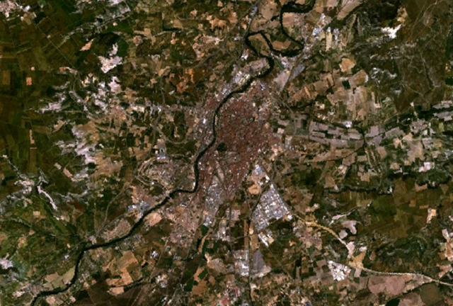
| Description | Vista satélite de Valladolid | |||
| Date | ||||
| Source | WorldWind | |||
| Author | NASA | |||
| Permission (Reusing this file) |
|

File history
Click on a date/time to view the file as it appeared at that time.
| Date/Time | Thumbnail | Dimensions | User | Comment | |
|---|---|---|---|---|---|
| current | 18:53, 30 August 2008 | | 1,022 × 690 (1.13 MB) | Queninosta (talk | contribs) | {{Information |Description= Vista satélite de Valladolid |Source= WorldWind |Date= 30/08/08 |Author= NASA |Permission={{PD-WorldWind}} |other_versions= }} Category:Valladolid <!--{{ImageUpload|basic}}--> |
You cannot overwrite this file.
File usage on Commons
There are no pages that use this file.
File usage on other wikis
The following other wikis use this file:
- Usage on ca.wikipedia.org
- Usage on en.wikipedia.org
- Usage on es.wikipedia.org