File:Copper Creek, Yukon-Charley Rivers, 2003 (3f6463a4-3376-4f99-9bc5-4f2b1e615463).jpg

Size of this preview: 800 × 600 pixels. Other resolutions: 320 × 240 pixels | 640 × 480 pixels | 1,024 × 768 pixels | 1,280 × 960 pixels | 2,560 × 1,920 pixels.
Original file (2,560 × 1,920 pixels, file size: 364 KB, MIME type: image/jpeg)
Captions
Captions
Add a one-line explanation of what this file represents
| Camera location | | View this and other nearby images on: OpenStreetMap |
|---|
.jpg¶ms=065.166801_N_-142.570801_E_globe:Earth_type:camera_alt:0_source:exif_&language=en)
Summary
edit.jpg&action=edit§ion=1)
| English: Copper Creek, Yukon-Charley Rivers, 2003 | ||||
|---|---|---|---|---|
| Photographer |
English: NPS staff |
|||
| Title |
English: Copper Creek, Yukon-Charley Rivers, 2003 |
|||
| Description |
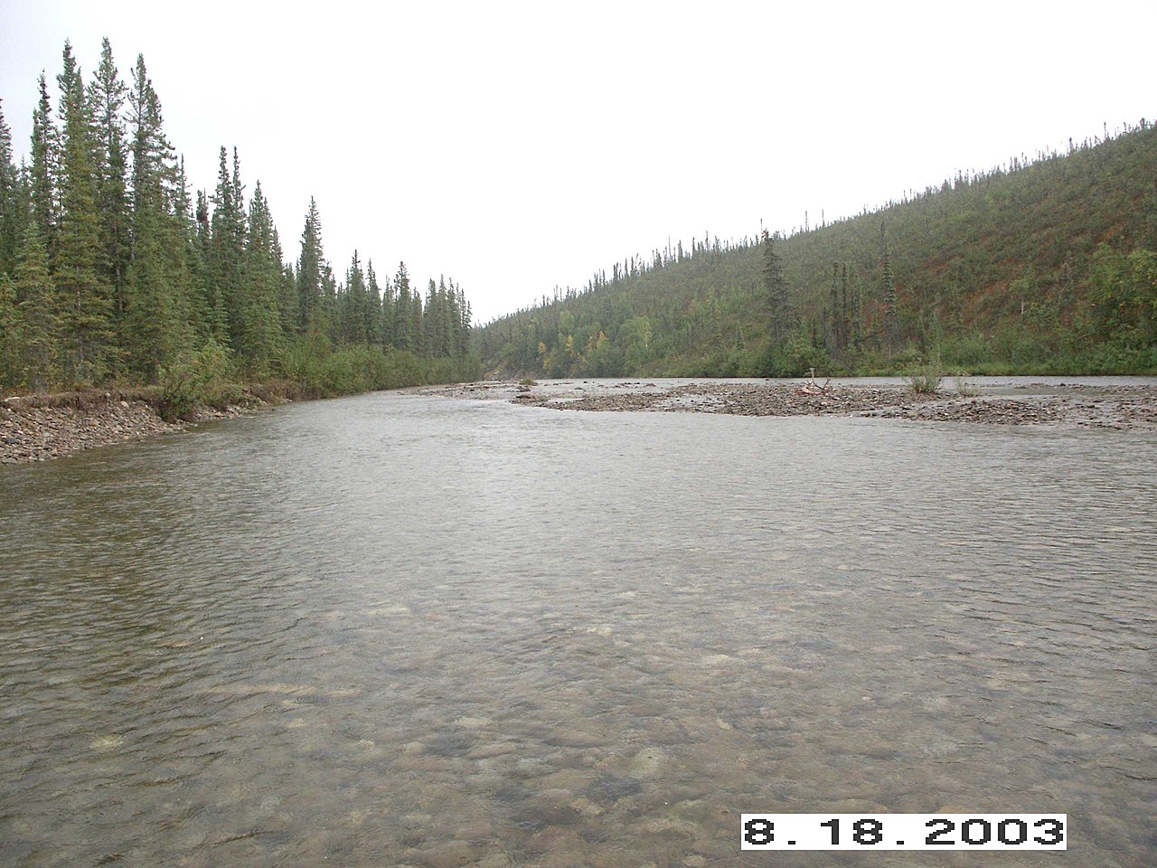
English: up creek - NPS staff testing Copper creek water quality in Yukon-Charley Rivers National Preserve
|
|||
| Depicted place |
English: Yukon-Charley Rivers National Preserve, Alaska |
|||
| Accession number | ||||
| Source |
English: NPGallery |
|||
| Permission (Reusing this file) |
|
|||
| NPS Unit Code | YUCH | |||
| Legacy NPS Focus Record ID | 235788 | |||
File history
Click on a date/time to view the file as it appeared at that time.
| Date/Time | Thumbnail | Dimensions | User | Comment | |
|---|---|---|---|---|---|
| current | 13:42, 30 June 2019 | | 2,560 × 1,920 (364 KB) | BMacZeroBot (talk | contribs) | Batch upload (Commons:Batch uploading/NPGallery) |
You cannot overwrite this file.
File usage on Commons
The following 3 pages use this file:
.jpg)
File usage on other wikis
The following other wikis use this file:
- Usage on ceb.wikipedia.org
- Usage on de.wikipedia.org
- Usage on www.wikidata.org
.jpg&oldid=913328042)