File:Coprates layers.JPG

Size of this preview: 782 × 600 pixels. Other resolutions: 313 × 240 pixels | 626 × 480 pixels | 932 × 715 pixels.
Original file (932 × 715 pixels, file size: 91 KB, MIME type: image/jpeg)
Captions
Captions
Add a one-line explanation of what this file represents
| Description |
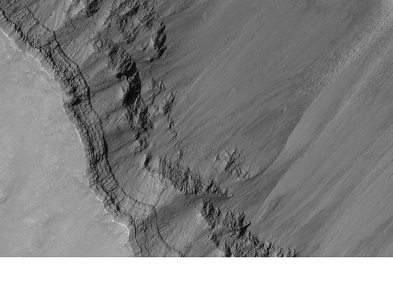
English: Layers in Coprates . Location is 8.8 degrees south latitude and 45.48 degrees west longitude. |
| Date |
|
| Source | http://www.msss.com/mars_images/moc/publicresults/2004/06/R18-00480p.gif |
| Author | Jim Secosky modified NASA photo |
Licensing
edit
| This file is in the public domain in the United States because it was solely created by NASA. NASA copyright policy states that "NASA material is not protected by copyright unless noted". (See Template:PD-USGov, NASA copyright policy page or JPL Image Use Policy.) | ||
 |
Warnings:
|
Original upload log
edit
Transferred from en.wikipedia to Commons by Mike Peel using CommonsHelper.
The original description page was here. All following user names refer to en.wikipedia.
- 2009-01-13 21:29 Jimmarsmars 932×715× (93609 bytes) {{Information |Description=Layers in Coprates . Location is 8.8 degrees south latitude and 45.48 degrees west longitude. |Source=http://www.msss.com/mars_images/moc/publicresults/2004/06/R18-00480p.gif |Date=January 13, 2009 |Author=Jim Secosky modifie
File history
Click on a date/time to view the file as it appeared at that time.
| Date/Time | Thumbnail | Dimensions | User | Comment | |
|---|---|---|---|---|---|
| current | 21:04, 1 March 2009 | | 932 × 715 (91 KB) | File Upload Bot (Magnus Manske) (talk | contribs) | {{BotMoveToCommons|en.wikipedia|year={{subst:CURRENTYEAR}}|month={{subst:CURRENTMONTHNAME}}|day={{subst:CURRENTDAY}}}} {{Information |Description={{en|Layers in Coprates . Location is 8.8 degrees south latitude and 45.48 degrees west longitude.}} |Sourc |
You cannot overwrite this file.
File usage on Commons
There are no pages that use this file.
File usage on other wikis
The following other wikis use this file:
- Usage on en.wikipedia.org
- Usage on ko.wikipedia.org
- Usage on pnb.wikipedia.org
- Usage on pt.wikipedia.org
- Usage on sh.wikipedia.org
- Usage on sr.wikipedia.org
- Usage on uk.wikipedia.org
- Usage on ur.wikipedia.org
- Usage on zh.wikipedia.org