File:Craigendarroch - viewpoint indicator - geograph.org.uk - 847865.jpg
Size of this preview: 402 × 600 pixels. Other resolutions: 161 × 240 pixels | 429 × 640 pixels.
Original file (429 × 640 pixels, file size: 110 KB, MIME type: image/jpeg)
Captions
Captions
Add a one-line explanation of what this file represents
Summary edit
| Description |
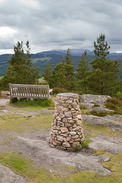
English: Craigendarroch - viewpoint indicator The indicator helps with the identification of the surrounding hills.
Trees have been allowed to grow right up to and across the summit of the hill impeding the views in most directions. Some visitors might welcome the felling of some of the trees close to the summit to improve the views and make the climb to the top more worthwhile. |
| Date | |
| Source | From geograph.org.uk |
| Author | Nigel Corby |
| Attribution (required by the license) | Nigel Corby / Craigendarroch - viewpoint indicator / |
| Camera location | | View this and other nearby images on: OpenStreetMap |
|---|
_heading:247.00&language=en)
| Object location | | View this and other nearby images on: OpenStreetMap |
|---|
_heading:247.00&language=en)
Licensing edit

|
This image was taken from the Geograph project collection. See this photograph's page on the Geograph website for the photographer's contact details. The copyright on this image is owned by Nigel Corby and is licensed for reuse under the Creative Commons Attribution-ShareAlike 2.0 license.
|
This file is licensed under the Creative Commons Attribution-Share Alike 2.0 Generic license.
Attribution: Nigel Corby
- You are free:
- to share – to copy, distribute and transmit the work
- to remix – to adapt the work
- Under the following conditions:
- attribution – You must give appropriate credit, provide a link to the license, and indicate if changes were made. You may do so in any reasonable manner, but not in any way that suggests the licensor endorses you or your use.
- share alike – If you remix, transform, or build upon the material, you must distribute your contributions under the same or compatible license as the original.
File history
Click on a date/time to view the file as it appeared at that time.
| Date/Time | Thumbnail | Dimensions | User | Comment | |
|---|---|---|---|---|---|
| current | 22:36, 20 February 2011 | | 429 × 640 (110 KB) | GeographBot (talk | contribs) | == {{int:filedesc}} == {{Information |description={{en|1=Craigendarroch - viewpoint indicator The indicator helps with the identification of the surrounding hills. Trees have been allowed to grow right up to and across the summit of the hill impeding the |
You cannot overwrite this file.
File usage on Commons
There are no pages that use this file.