File:Crater Lake National Park Roads, Klamath Falls, Klamath County, OR HAER OR-107 (sheet 9 of 10).tif

Original file(14,421 × 9,772 pixels, file size: 1.62 MB, MIME type: image/tiff)

Captions

Captions

Add a one-line explanation of what this file represents

Summary edit

Warning The original file is very high-resolution. It might not load properly or could cause your browser to freeze when opened at full size.
HAER OR-107 (sheet 9 of 10) - Crater Lake National Park Roads, Klamath Falls, Klamath County, OR
Photographer

Related names:

U.S. Army Corps of Engineers; Public Roads Administration; Federal Highway Administration; Arant, W F; Civilian Conservation Corps; Thomson, C G; Mather, Stephen T; Merriam, John C; Lange, Francis G; Kittredge, Frank; Vint, Thomas; Sager, Merel; Canfield, David; Albright, Horace; Demaray, Arthur; Cammerer, Arno B; Leavitt, Ernest P; PL Crooks Construction Company; Homer Johnson Company; Angelo Doveri; Doerner, Armin; JC Compton; Von der Hellen and Pierson; Dunn and Baker; A Milne; Saxton, Looney and Risley; Warren Northwest; Carpenter, Thomas E; EL Gates; Libbey, Donald; JC Compton; Croteau, Todd, project manager; Carr, Christian, field team project manager; Christianson, Justine, transmitter; Young, Kelly, transmitter; Davis, Tim, historian; Lehman, Sarah, delineator; Stowell, Walton, delineator; Stoyanova, Simona, delineator; Lowe, Jet, photographer; Mark, Stephen, historian
Title
HAER OR-107 (sheet 9 of 10) - Crater Lake National Park Roads, Klamath Falls, Klamath County, OR
Depicted place Oregon; Klamath County; Klamath Falls
Date Documentation compiled after 1968
Dimensions 24 x 36 in. (D size)
Current location
Library of Congress Prints and Photographs Division Washington, D.C. 20540 USA http://hdl.loc.gov/loc.pnp/pp.print
Accession number
HAER OR-107 (sheet 9 of 10)
Credit line
This file comes from the Historic American Buildings Survey (HABS), Historic American Engineering Record (HAER) or Historic American Landscapes Survey (HALS). These are programs of the National Park Service established for the purpose of documenting historic places. Records consist of measured drawings, archival photographs, and written reports.

This tag does not indicate the copyright status of the attached work. A normal copyright tag is still required. See Commons:Licensing.

Notes
  • Significance: The primary roads in Crater Lake National Park were designed and constructed to provide visitor access to the park's scenic features, which are largely concentrated along the rim of Crater Lake. Blending roads harmoniously with the landscape was the stated goal of the National Park Service in its collaboration with the Bureau of Public Roads, most notably on the circuit called "Rim Drive." The aim of subordination in road design to geological phenomena, dramatic vistas, and subalpine forests also applied to the approach roads, particularly where ancillary attractions like the "Pinnacles" or Annie Creek Canyon could be seen by motorists. The Rim Drive, however, remains an especially noteworthy example of "naturalization" among all national park roads built during the 1930s.

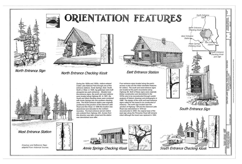
Remnants of other roads at Crater Lake illustrate construction methods that date to 1865 and changed once horse-drawn grading equipment became available a decade or so later. Early wagon roads were eventually realigned for highways designed for automobiles, but pieces of a circulation system built by the Army Corps of Engineers from 1913 to 1919 are still evident in the park, particularly in places near the rim. Evolving design standards can also be seen within the current road system, a product of a collaboration that began in 1926 between the National Park Service and the Bureau of Public Roads.

  • Unprocessed Field note material exists for this structure: N879
  • Survey number: HAER OR-107
  • Building/structure dates: 1913-1919 Initial Construction
  • Building/structure dates: 1931-1940 Initial Construction
  • Building/structure dates: 1865 Initial Construction
  • Building/structure dates: 1905-1906 Initial Construction
  • Building/structure dates: 1914-1917 Initial Construction
  • Building/structure dates: 1925-1928 Initial Construction
  • Building/structure dates: 1972-1976 Initial Construction
  • Building/structure dates: 1904-1905 Initial Construction
  • Building/structure dates: 1913-1914 Initial Construction
  • Building/structure dates: 1963 Initial Construction
  • Building/structure dates: 1929-1930 Initial Construction
  • Building/structure dates: 1932-1936 Initial Construction
  • Building/structure dates: 1919 Initial Construction
  • Building/structure dates: 1985-1987 Initial Construction
Source https://www.loc.gov/pictures/item/or0474.sheet.00009a
Permission
(Reusing this file)
Public domain This image or media file contains material based on a work of a National Park Service employee, created as part of that person's official duties. As a work of the U.S. federal government, such work is in the public domain in the United States. See the NPS website and NPS copyright policy for more information.
Other versions
Object location42° 13′ 30″ N, 121° 46′ 50.02″ W Kartographer map based on OpenStreetMap.View this and other nearby images on: OpenStreetMapinfo

File history

Click on a date/time to view the file as it appeared at that time.

Date/TimeThumbnailDimensionsUserComment
current10:01, 2 August 2014Thumbnail for version as of 10:01, 2 August 201414,421 × 9,772 (1.62 MB) (talk | contribs)GWToolset: Creating mediafile for Fæ. HABS 2014-08-01 2601-2900 missing

Metadata