File:Croatia Bjelovar-Bilogora County adm location map.svg

Original file (SVG file, nominally 1,050 × 932 pixels, file size: 329 KB)
Captions
Captions
Summary
edit
| Description |
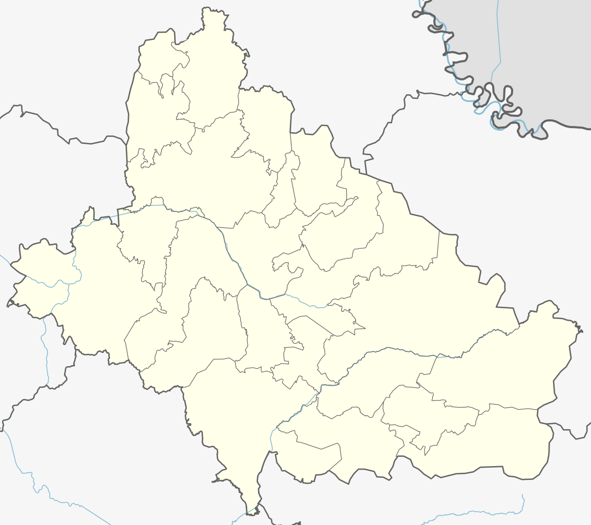
Deutsch: Positionskarte der Gespanschaft Bjelovar-Bilogora, Kroatien
English: Location map of Bjelovar-Bilogora County, Croatia
|
||||||||||||
| Date | |||||||||||||
| Source |
Own work using: |
||||||||||||
| Author | NordNordWest and OpenStreetMap contributors | ||||||||||||

|
This map has been made or improved in the German Kartenwerkstatt (Map Lab). You can propose maps to improve as well.
|
Licensing
edit
Usage of this file with:

explanatory notes: Legally binding is only the full legalcode. For a free usage I recommend to respect the following licence conditions:
1. Provide my name as given above: NordNordWest,
2. a copy of, or the URI for, the applicable license: https://creativecommons.org/licenses/by-sa/3.0/de/legalcode,
3. the title of the work,
4. in the case of an adaptation, a credit identifying the use of the work in the adaptation.
This license and the rights granted hereunder will terminate automatically upon any breach by you of the terms of this license. Any of the above conditions can be waived if you get permission from the copyright holder. If you have questions or wish differing conditions, please contact me through nnwest or my discussion page ![]() t-online.de
t-online.de
- You are free:
- to share – to copy, distribute and transmit the work
- to remix – to adapt the work
- Under the following conditions:
- attribution – You must give appropriate credit, provide a link to the license, and indicate if changes were made. You may do so in any reasonable manner, but not in any way that suggests the licensor endorses you or your use.
- share alike – If you remix, transform, or build upon the material, you must distribute your contributions under the same or compatible license as the original.

File history
Click on a date/time to view the file as it appeared at that time.
| Date/Time | Thumbnail | Dimensions | User | Comment | |
|---|---|---|---|---|---|
| current | 18:38, 8 August 2023 | | 1,050 × 932 (329 KB) | NordNordWest (talk | contribs) | == {{int:filedesc}} == {{Information |description= {{de|1=Positionskarte der Gespanschaft Bjelovar-Bilogora, Kroatien}} {{en|1=Location map of Bjelovar-Bilogora County, Croatia}} {{Location map series N |stretching=–|top=46.0982861|bottom=45.4551972|left=16.4770444|right=17.5129444}} |Source={{Own using}} * [http://www.openstreetmap.org OpenStreetMap] |date=2023-08-08 |author={{U|NordNordWest}} and OpenStreetMap contributors |other fields= }} {{Kartenwerkstatt}} == {{int:license-header}} ==... |
You cannot overwrite this file.
File usage on Commons
The following 2 pages use this file:
File usage on other wikis
The following other wikis use this file:
- Usage on de.wikipedia.org
- Usage on fr.wikipedia.org
- Severin
- Bjelovar
- Daruvar
- Grubišno Polje
- Garešnica
- Štefanje
- Šandrovac
- Đulovac
- Zrinski Topolovac
- Veliko Trojstvo
- Veliki Grđevac
- Velika Trnovitica
- Velika Pisanica
- Sirač
- Rovišće
- Nova Rača
- Kapela
- Ivanska
- Dežanovac
- Končanica
- Hercegovac
- Berek (Bjelovar-Bilogora)
- Modèle:Géolocalisation/Comitat de Bjelovar-Bilogora
- Usage on pl.wikipedia.org
- Bjelovar
- Čazma
- Daruvar
- Garešnica
- Grubišno Polje
- Cerkiew Trójcy Świętej w Bjelovarze
- Cerkiew św. Jerzego w Narcie
- Cerkiew Świętych Piotra i Pawła w Severinie
- Cerkiew Przemienienia Pańskiego w Bedeniku
- Cerkiew Świętych Piotra i Pawła w Gudovacu
- Diecezja bielowarsko-kriżewczyńska
- Katedra św. Teresy z Ávili w Bjelovarze
- Gmina Berek
- Gmina Dežanovac
- Gmina Đulovac
- Gmina Hercegovac
- Gmina Ivanska
- Gmina Kapela
- Gmina Končanica
- Gmina Nova Rača
- Gmina Rovišće
- Gmina Severin
- Gmina Sirač
- Gmina Šandrovac
- Gmina Štefanje
- Miasto Bjelovar
View more global usage of this file.