File:Cropped aerial view of the Forestville Millpond and the start of the lower Ahnapee River in Door County, Wisconsin 2020.png
Size of this preview: 433 × 599 pixels. Other resolutions: 173 × 240 pixels | 347 × 480 pixels | 555 × 768 pixels | 740 × 1,024 pixels | 1,480 × 2,048 pixels | 2,672 × 3,697 pixels.
Original file (2,672 × 3,697 pixels, file size: 16.54 MB, MIME type: image/png)
Captions
Captions
Add a one-line explanation of what this file represents
| Description |
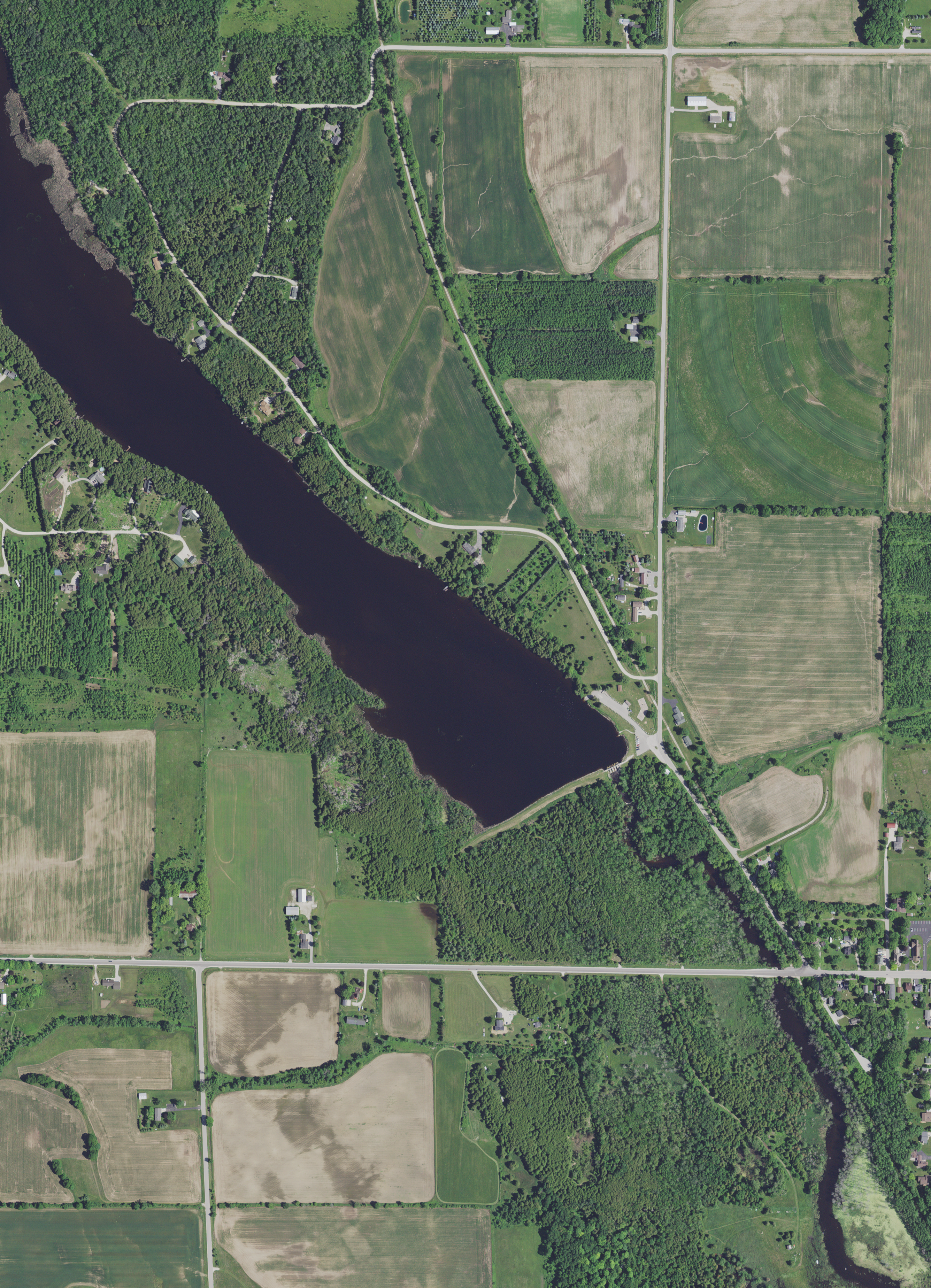
English: Partial view of the Ahnapee River, including the Forestville Millpond in Door County, Wisconsin, taken June 27, 2020. Forestville Dam County Park and the Ahnapee State Trail are in the photograph. |
|||
| Date | ||||
| Source | converted to .png by Epiphyllumlover from the original uncropped .tif available as item M_4408721_NW_16_060_20200627 on EarthExplorer | |||
| Author | Aerial Photography Field Office (APFO) for NAIP, USGS; in contract with the Surdex Corporation | |||
| Permission (Reusing this file) |
|
|||
| Other versions |

File history
Click on a date/time to view the file as it appeared at that time.
| Date/Time | Thumbnail | Dimensions | User | Comment | |
|---|---|---|---|---|---|
| current | 17:27, 14 May 2022 | | 2,672 × 3,697 (16.54 MB) | Epiphyllumlover (talk | contribs) | File:Aerial view of most of the village of Forestville and the central part of the town of Forestville, including the Forestville Millpond and Maplewood in Door County, Wisconsin 2020.png cropped 72 % horizontally, 70 % vertically using CropTool with precise mode. |
You cannot overwrite this file.
File usage on Commons
The following page uses this file:
File usage on other wikis
The following other wikis use this file:
- Usage on en.wikipedia.org