File:CtyMapBeaver.png

Size of this preview: 800 × 496 pixels. Other resolutions: 320 × 198 pixels | 640 × 397 pixels | 918 × 569 pixels.
Original file (918 × 569 pixels, file size: 27 KB, MIME type: image/png)
Captions
Captions
Add a one-line explanation of what this file represents

|
Permission is granted to copy, distribute and/or modify this document under the terms of the GNU Free Documentation License, Version 1.2 or any later version published by the Free Software Foundation; with no Invariant Sections, no Front-Cover Texts, and no Back-Cover Texts. A copy of the license is included in the section entitled GNU Free Documentation License. |
| This file is licensed under the Creative Commons Attribution-Share Alike 3.0 Unported license. | ||
| ||
| This licensing tag was added to this file as part of the GFDL licensing update. |
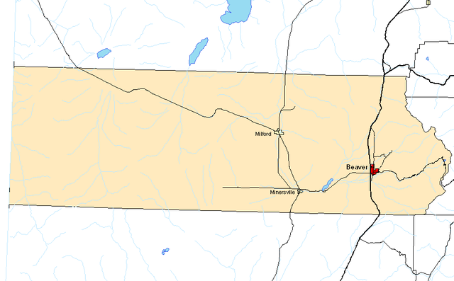
County Map for Beaver County, Utah
File history
Click on a date/time to view the file as it appeared at that time.
| Date/Time | Thumbnail | Dimensions | User | Comment | |
|---|---|---|---|---|---|
| current | 00:21, 16 February 2005 | | 918 × 569 (27 KB) | BigBen212 (talk | contribs) | Revised Version. Created in ESRI ArcMap. |
| 19:28, 15 February 2005 | 984 × 356 (16 KB) | BigBen212 (talk | contribs) | New image with County Seat highlighted | ||
| 18:57, 15 February 2005 | 984 × 356 (16 KB) | BigBen212 (talk | contribs) | County Map of Beaver County, Utah, USA. Created in MapWindow 3. {{GFDL}} |
You cannot overwrite this file.
File usage on Commons
There are no pages that use this file.
File usage on other wikis
The following other wikis use this file:
- Usage on en.wikipedia.org
- Usage on pl.wikipedia.org