File:Cuba physical map (no legend).svg

Size of this PNG preview of this SVG file: 800 × 323 pixels. Other resolutions: 320 × 129 pixels | 640 × 259 pixels | 1,024 × 414 pixels | 1,280 × 517 pixels | 2,560 × 1,035 pixels | 851 × 344 pixels.
Original file (SVG file, nominally 851 × 344 pixels, file size: 594 KB)
Captions
Captions
Add a one-line explanation of what this file represents
Summary
edit.svg&action=edit§ion=1)
| Description |
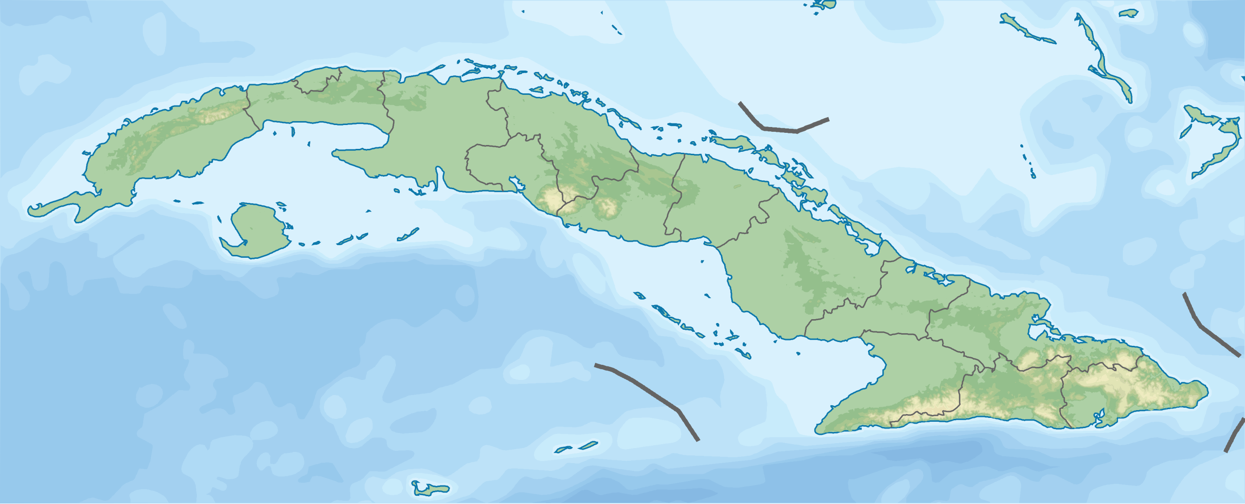
English: Physical map of Cuba without a legend, parameters equal to File:Cuba location map.svg |
| Date | |
| Source | Cuba physical map.svg |
| Author | Droll |
| SVG development |
Licensing
edit.svg&action=edit§ion=2)
| This file is made available under the Creative Commons CC0 1.0 Universal Public Domain Dedication. | |
| The person who associated a work with this deed has dedicated the work to the public domain by waiving all of their rights to the work worldwide under copyright law, including all related and neighboring rights, to the extent allowed by law. You can copy, modify, distribute and perform the work, even for commercial purposes, all without asking permission.
|
File history
Click on a date/time to view the file as it appeared at that time.
| Date/Time | Thumbnail | Dimensions | User | Comment | |
|---|---|---|---|---|---|
| current | 01:33, 5 December 2012 | 851 × 344 (594 KB) | Droll (talk | contribs) | User created page with UploadWizard |
You cannot overwrite this file.
File usage on Commons
There are no pages that use this file.
File usage on other wikis
The following other wikis use this file:
- Usage on ar.wikipedia.org
- Usage on ast.wikipedia.org
- Usage on bn.wikipedia.org
- Usage on ca.wikipedia.org
- Usage on ceb.wikipedia.org
- Usage on el.wikipedia.org
- Usage on en.wikipedia.org
- Usage on es.wikipedia.org
- Sierra Maestra
- Escambray
- Túnel de La Habana
- Bahía de Nipe
- Yunque de Baracoa
- Golfo de Guacanayabo
- Golfo de Batabanó
- Valle de Viñales
- Península de Zapata
- Archipiélago de los Canarreos
- Archipiélago de los Jardines de la Reina
- Cayo Guajaba
- Cayo Sabinal
- Plantilla:Mapa de localización de Cuba
- Ensenada de la Broa
- Río Buey (Cuba)
- Bahía de Cochinos
- Cabo de San Antonio (Cuba)
- Cabo Cruz
- Parque nacional Turquino
- Cueva de San Miguel (Cuba)
- Cueva del Indio
- Cordillera de Guaniguanico
- Faro del Castillo del Morro
- Faro de Cabo Cruz
- Parque nacional Sierra Cristal
- Bahía de Guantánamo
- Cabo Corrientes (Cuba)
- Reserva de la biosfera Ciénaga de Zapata
- Río Guaso
- Bahía de Matanzas (Cuba)
- Sierra de Najasa
- Faro Cayo Paredón Grande
- Faro de Cayo Jaula
- Sierra de Cajálbana
- Cayos de San Felipe
- Usage on fy.wikipedia.org
View more global usage of this file.
.svg)
.svg&oldid=871739624)